What is recorded here
Located in an area of bog and marginal land amongst the mountains of the Nephin Beg range. Ó Ríordáin and Mac Dermott (1950-51, 117-118) noted that this road follows the line of a natural routeway along the valley from Sramore, passing close to a rath (MA046-004007-) and to a fording point on the Goulaun River, and continues NE through the pass above Bunaleeva Lough. They excavated a number of unpaved sections of the road but found no dating evidence (ibid. 118). They concluded that while ‘it is reasonable to believe that this road coincides with an old route used from early times’, the construction of the road may be of relatively modern date. The SW portion of the road, in the vicinity of the rath, is maintained by Coillte as an assess route through an area of forestry. The remainder of the road, as it extends to NE, has a modern tarmacadamed surface.
Compiled by: Jane O'Shaughnessy
Date of upload: 13 July 2015
The monument record does not grant public access. Check the route and ask the landowner before entering private land.
- What survives
- Recorded monument
Places near here
 IndicatedFairy fort / earthen ringfort · 2.2 mi
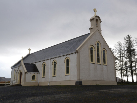 Catholic Church of the Holy Soulschurch/chapel · 2.8 mi
 BirreencorraghMountain / peak · 3.1 mi
 Letterkeen LoopWalking route · 3.1 mi
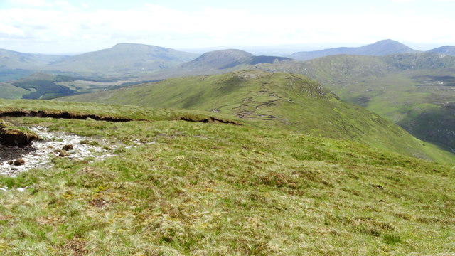 Nephin Beg South Top (Cruckgarru)Mountain / peak · 4.0 mi
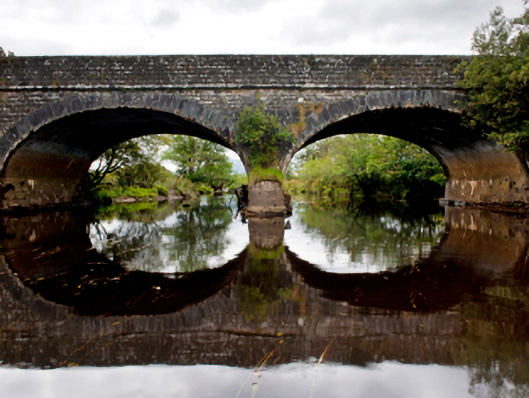 Deel Bridgebridge · 4.1 mi
 RaweedoonminnonFairy fort / earthen ringfort · 4.9 mi
 Wild Nephin National ParkNature reserve · 5.6 mi
 Grave of the KingsArchaeological place · 7.7 mi
 Saints IslandIslet · 7.8 mi
 Ballyduffy CastleCastle, unclassified · 8.0 mi
 IslandmoreIslet · 8.0 mi