What is recorded here
Indicated is a circular earthen ringfort on an NE-facing slope in County Mayo, Ireland. Two low banks and a shallow fosse enclose a grassy dish thirty metres across, perhaps a dwelling or a boundary marker for a forgotten household. The shape still fits the hill, waiting for a person to walk its edge and imagine the life that made it.
In pasture, on NE-facing slope of rise. Circular raised area (28m N-S; 29m E-W), enclosed by two earthen banks, with intervening fosse (D 0.4). Inner bank (H 0.3m) levelled, NE to S. Outer bank (H 0.2m) levelled, N to S.
The above description has been derived from D. Lavelle (compiler), An Archaeological Survey of Ballinrobe and District including Lough Mask and Lough Carra. Lough Mask and Lough Carra Tourist Development Association (1994), No. 111.
Date of upload: 28 October 2013
The monument record does not grant public access. Check the route and ask the landowner before entering private land.
- What survives
- Recorded monument
Places near here
 Enclosure in BloomfieldEnclosure · 367 yd
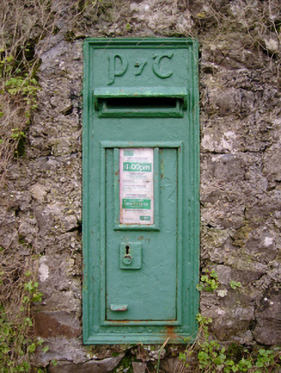 post boxpost box · 599 yd
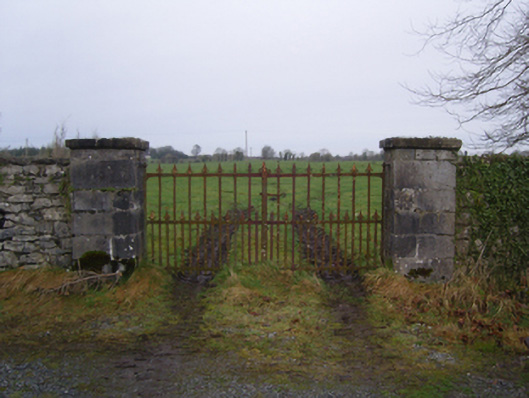 Bloomfield Housegates/railings/walls · 611 yd
 IndicatedEnclosure · 1.0 mi
 Castle (in Ruins)Castle, tower house · 1.1 mi
 SycamoreSycamore · 1.9 mi
 Castle (ruin)Castle, unclassified · 2.0 mi
 Bush IslandIslet · 3.7 mi
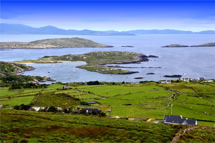 illanatrim islandIslet · 3.8 mi
 Kiltoom PointHeadland · 4.5 mi
 Moore Hall ForestForest · 4.7 mi
 Moore Hall Forest TrailWalking route · 4.7 mi