What is recorded here
Close to shore at N end of Loch Fada. Subcircular island (N-S 24m; E-W 21m) defined by a platform of stones and peat. This encloses a central mound of peat (H 1.7m) which slopes towards S. There is a small rectangular depression (L 1.5m, Wth 1m) in S half of the interior. A well-preserved stone causeway (Wth 1.15m), running SW from the island for 21.3m before turning S for 3.7m, connects it to the shore.
The above description is derived from the published 'Archaeological Inventory of County Galway Vol. I - West Galway'. Compiled by Paul Gosling (Dublin: Stationery Office, 1993).
Date of upload: 05 August 2010
A local fairy fort (ringfort/rath); wider significance not recorded.
The monument record does not grant public access. Check the route and ask the landowner before entering private land.
- What survives
- Recorded monument
Places near here
 Alcock and Brown Crash SiteMonument · 982 yd
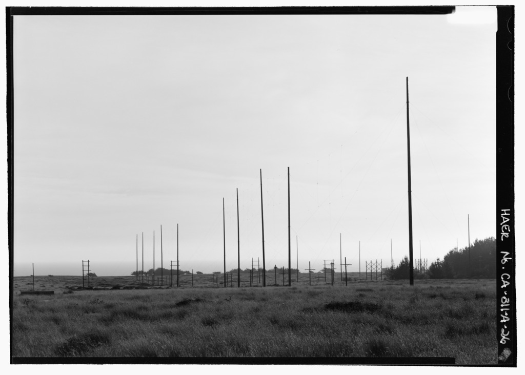 Marconi Wireless Radio StationArchaeological place · 988 yd
 Marconi Wireless Station SiteRuins · 1191 yd
 Ballinaboy Bridgebridge · 1.1 mi
 Alcock and Brown Atlantic CrossingMemorial · 1.6 mi
 Crock IslandIslet · 2.1 mi
 Bare IslandIslet · 2.1 mi
 Mannin Bay Coral StrandBeach / strand · 2.3 mi
 English hollyEnglish holly · 2.6 mi
 HawthornHawthorn · 2.6 mi
 Station House MuseumMuseum · 2.7 mi
 Lavelle Art GalleryGallery · 2.8 mi