What is recorded here
Situated on flat ground now surrounded by modern forestry plantation as visible on Digital Globe aerial photograph taken November 2011. Located on the demesne lands of Baronstown House located 1.4km to the SSE. Possible ringfort that was re-used as a post 1700 tree-ring as depicted on the 1837 ed. OS 6-inch map. The field fence which forms the townland boundary with Ballycorkey is 30m to NW. A sub-circular shaped area (approx. diam. 34m E-W) enclosed by a very poorly preserved earthen bank and a wide external fosse. The bank is almost completely levelled, and the fosse was deepened when the interior of the site was planted with beech trees as depicted on the 1837 ed. OS 6-inch map. The interior has a slight slope from WSW-ENE, and a very shallow circular natural depression at centre.
Compiled by: Frank Coyne and Caimin O'Brien
Date of upload: 12 June 2017
The monument record does not grant public access. Check the route and ask the landowner before entering private land.
- What survives
- Recorded monument
Places near here
 Partially hachuredEnclosure · 935 yd
 OutlinedBawn · 968 yd
 Ballycorkey Bridgebridge · 976 yd
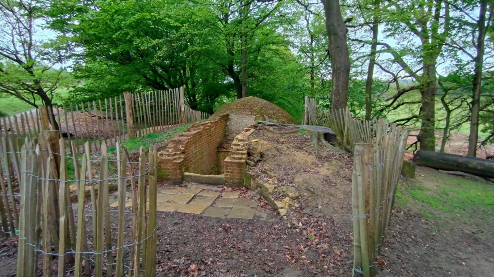 Icehouse in Baronstown DemesneIcehouse · 1575 yd
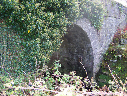 Ardglass Bridgebridge · 1701 yd
 CastleCastle, motte and bailey · 1.0 mi
 Horse-chestnutHorse-chestnut · 1.2 mi
 Baronstown ForestWood · 1.3 mi
 National Famine WayWalking route · 10 mi
 Rock of CurryCliff · 11 mi
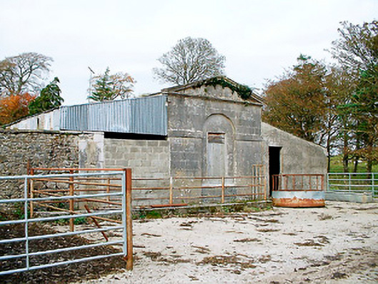 Baronstown HouseOfficially recorded historic building · 1.1 mi
 Man-made underground passage in Baronstown DemesneMan-made underground passage · 1.1 mi