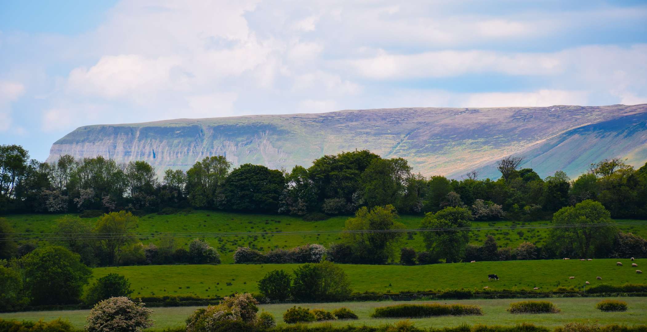
What is recorded here
Indicated is a fairy fort or earthen ringfort in Ballysumaghan, County Sligo, Ireland. It occupies a low rise in pasture, forming a steep-sided oval area twenty-seven and a half metres long and twenty-four metres wide. An earth and stone bank defines the north-east edge, while a scarp marks the remaining perimeter. Hawthorn bushes overgrow the boundary, and grass covers most of the interior.
On a low rise in low-lying pasture; the ground rises gradually to W. A raised steep-sided oval area (27.5m N-S; 24m E-W) defined N-NE by an earth and stone bank and elsewhere by a scarp (H 1.2m). The bank (Wth 3m; int. H 0.7m; ext. H 0.8m) has internal kerbing and is faced with large stones externally. The perimeter of the rath is overgrown with hawthorn bushes. The interior is mostly grass-covered with some overgrowth. Trees are indicated within the interior on the 1838 OS 6-inch map. There is a circular enclosure (SL027-046----) c. 100m to SSE.
The above description is derived from the published 'Archaeological Inventory of County Sligo' compiled by Ursula Egan, Elizabeth Byrne, Mary Sleeman with Sheila Ronan and Connie Murphy (Dublin Stationery Office, 2005).
Date of upload: 18 January 2008
The monument record does not grant public access. Check the route and ask the landowner before entering private land.
- What survives
- Recorded monument
Places near here
 Castle Neymoecountry house · 520 yd
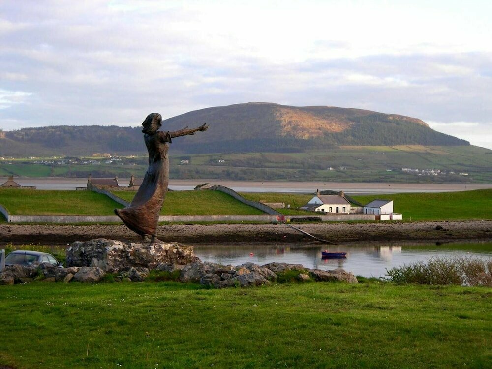 Indicated (1838).Fairy fort / earthen ringfort · 722 yd
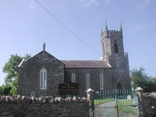 Ballysumaghan Churchchurch/chapel · 757 yd
 Enclosure in LissergloonEnclosure · 910 yd
 Coola Castle (in Ruins)Bawn · 1.4 mi
 Giants GraveArchaeological place · 1.6 mi
 Drumcondra Castle (in Ruins)Castle, tower house · 1.7 mi
 Field MapleField Maple · 2.8 mi
 Riverstown Folk ParkHeritage attraction · 3.1 mi
 European ashEuropean ash · 3.4 mi
 James MorrisonMemorial · 3.6 mi
 Battle of Collooneybattle · 4.4 mi
Other information
Photo: Credit not shown in the picture search · Rights wording not checked; contact us if this picture should be removed