What is recorded here
Indicated is a nearly circular cashel on high rocky ground in County Clare, its slab walls reduced to a low bank that still traces a thirty-metre circle. Westropp called it nearly levelled in 1905, yet the facing stones reappear along the south-east edge where scrub pulls back. The site belongs to a small cluster, with another cashel forty metres west and a hut sixty-six metres south, suggesting people lived across the ridge rather than inside one fort. Its name sounds like a pointer, as if the landscape marked the place before humans gave it words.
On high rocky ground in scrub with good views to the W. Hachured on the 1842 and 1915 OS 6-inch maps. Listed as ‘Enclosure’ in the RMP (1996). Referred to by Westropp (1905, 349) as one of two ‘nearly circular’ and ‘nearly-levelled cahers’ with ‘walls of good, slab masonry’ (T c. 2.1m) ‘only rarely a few courses high’ (int. dims. c. 30-31m).
A roughly circular cashel (int. dims. 29m E-W; 24m N-S) defined by a stony bank (Wth 4.2m; ext. H 1.2m; int. H 0.5 at WNW) which is visible from WNW to SSE with facing-stones (ext. H 0.4-0.6m) visible in the SSE. The interior of the cashel is uneven and rocky with an irregular rocky area to the SSW of the centre. Another cashel (CL004-065002-) is located c. 40m to the WNW and a hut site (CL004-065001-) is located c. 66m to the SSW.
Compiled by: Mary Tunney and Lynda McCormack
Date of upload: 30 November 2022
The monument record does not grant public access. Check the route and ask the landowner before entering private land.
- What survives
- Recorded monument
Places near here
 CahernagrianFairy fort / stone ringfort · 604 yd
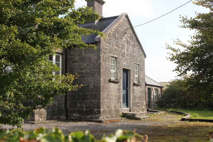 Enclosure in OughtdarraEnclosure · 826 yd
 ( Poulomega ? )Cave · 1124 yd
 OughtdarraCliff · 1302 yd
 Ballinalacken CastleCastle · 1.1 mi
 BallyryanCliff · 1.1 mi
 ( Polldonough ?)Cave · 1.2 mi
 The BurrenHeritage attraction · 1.3 mi
 Crumlin Church (in Ruins)Church · 1.3 mi
 Doolin Cave Visitor CentreHeritage attraction · 1.5 mi
 IndicatedEnclosure · 1010 yd
 Enclosure in BallynahownEnclosure · 1224 yd