What is recorded here
Indicated on the OS 6-inch maps as coniferous tree plantation enclosed by a field wall curving from approximately SE to NW. No visible surface trace survives. The cartographic evidence suggests it was landscape feature associated with Tulliria demesne.
Compiled by: Olive Alcock
Date of upload: 17 June 2019
The monument record does not grant public access. Check the route and ask the landowner before entering private land.
- What survives
- Recorded monument
Places near here
 CaveMan-made underground passage · 502 yd
 IndicatedFairy fort / stone ringfort · 921 yd
 R.C. Chapel (in Ruins)Church · 1096 yd
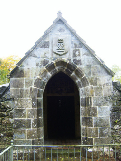 mausoleummausoleum · 1101 yd
 Castle (in ruins)Castle, Anglo-Norman masonry castle · 1.2 mi
 Rahaly Castle (in ruins)Castle, tower house · 1.3 mi
 HawthornHawthorn · 2.3 mi
 European ashEuropean ash · 2.3 mi
 Drumharsna CastleHeritage attraction · 2.4 mi
 Drumacoo Monastic SiteHeritage attraction · 6.1 mi
 Mulroney's IslandIslet · 6.7 mi
 Kilmacduagh Monastic SiteVisitor information · 7.9 mi