What is recorded here
In level pastureland. Marked on the 1838 edition of the OS 6-inch map as an unenclosed circular mixed tree plantation. On the 1921 edition it is shown as a roughly circular (diam. c. 46m) enclosure defined by a wall. Four trees are visible in the interior, one in each quadrant. No visible surface trace survives. A similar feature is shown on the maps c. 165m to the SW (see GA114-019----). Possible a landscape feature associated with Tullira Castle (GA114-166002-). (McCaffrey 1952, 280, no. 51)
Compiled by: Galway Archaeological Survey, UCG
Date of upload: 13 February 2019
The monument record does not grant public access. Check the route and ask the landowner before entering private land.
- What survives
- Recorded monument
Places near here
 CaveMan-made underground passage · 639 yd
 IndicatedFairy fort / stone ringfort · 644 yd
 R.C. Chapel (in Ruins)Church · 910 yd
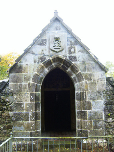 mausoleummausoleum · 911 yd
 Castle (in ruins)Castle, Anglo-Norman masonry castle · 1.0 mi
 Ballymaquiff CastleCastle · 1.6 mi
 Drumharsna CastleHeritage attraction · 2.2 mi
 HawthornHawthorn · 2.3 mi
 European ashEuropean ash · 2.3 mi
 Drumacoo Monastic SiteHeritage attraction · 5.9 mi
 Mulroney's IslandIslet · 6.4 mi
 Kilmacduagh Monastic SiteVisitor information · 7.8 mi