What is recorded here
Rectangular graveyard (map dims. c. 60m E-W; c. 50m N-S) with present church, which is on site of earlier church (LH021-038001-), just W of centre. Most of the burials are in the raised area S of the church and there are at least six dating to the 18th century. References to a tombstone in memory of Christopher Chever and dated 1687 in graveyard (IFC Schools' Mss 678, 143) however this was apparently removed when the protestant church was built (IFC Schools' Mss 678, 195)
Compiled by: Claire Breen
Date of upload: 17 July 2012
The monument record does not grant public access. Check the route and ask the landowner before entering private land.
- What survives
- Recorded monument
Places near here
 Boyne Valley Baptist Churchchurch/chapel · 14 yd
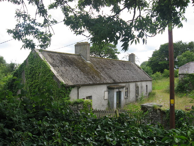 schoolschool · 59 yd
 Tobershowney (Covered)Holy well · 844 yd
 CastleCastle, tower house · 1113 yd
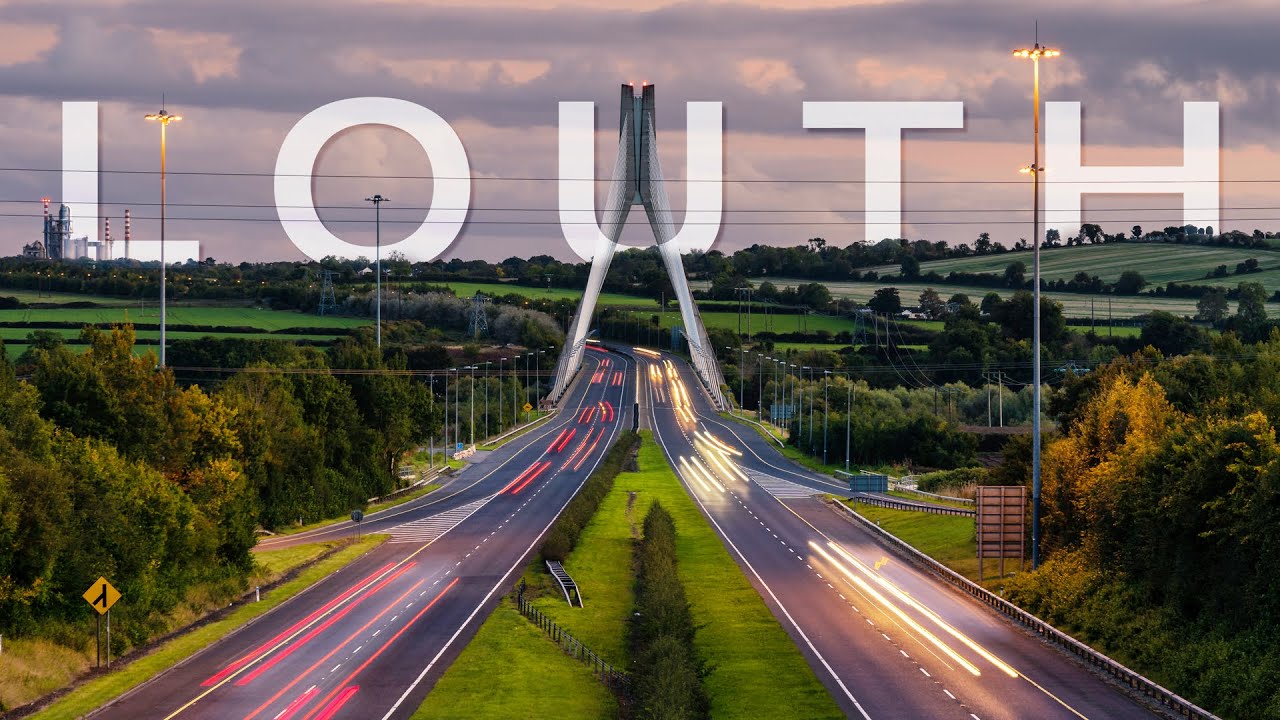 Field system in Carstown (ferrard By; Ballymakenny Par.)Field system · 1431 yd
 CarstownCastle, unclassified · 1.1 mi
 MonasterboiceEarly monastic site · 3.1 mi
 Muiredach's High CrossHeritage attraction · 3.2 mi
 Yellow IslandIslet · 3.8 mi
 Grove IslandIslet · 3.9 mi
 BarabonaMountain / peak · 3.9 mi
 Battle of the Boyne Visitor CentreMuseum · 4.2 mi