
What is recorded here
Associated with a holy well (GA122-012----). Fahey (1893, 113) noted two ‘similar enclosures’ within ‘a few yards on either side’ of the holy well. Both were ‘without water’ and overgrown with hazel and underwood. On inspection in September 1982, one of these was noted to the E of the well. It consisted of a collapsed circular stone structure (diam. c. 4m). Intermittent outer wall-facing (H 0.9m) survived. Its function was unclear but it may have been a penitential station (GA122-012001-) associated with the well. No visible surface trace of the second one (GA122-012002-) was evident.
Compiled by: Olive Alcock
Date of upload: 4 January 2023
Fahey, J. 1893 Some Places of Interest near Gort Visited by the Society, August 11th, 1904. In Journal of the Royal Society of Antiquaries of Ireland 34, 211-19.
The monument record does not grant public access. Check the route and ask the landowner before entering private land.
- What survives
- Recorded monument
Places near here
 IndicatedFairy fort / earthen ringfort · 278 yd
 Mine in CaherglassaunMine · 594 yd
 Enclosure in CaherglassaunEnclosure · 1090 yd
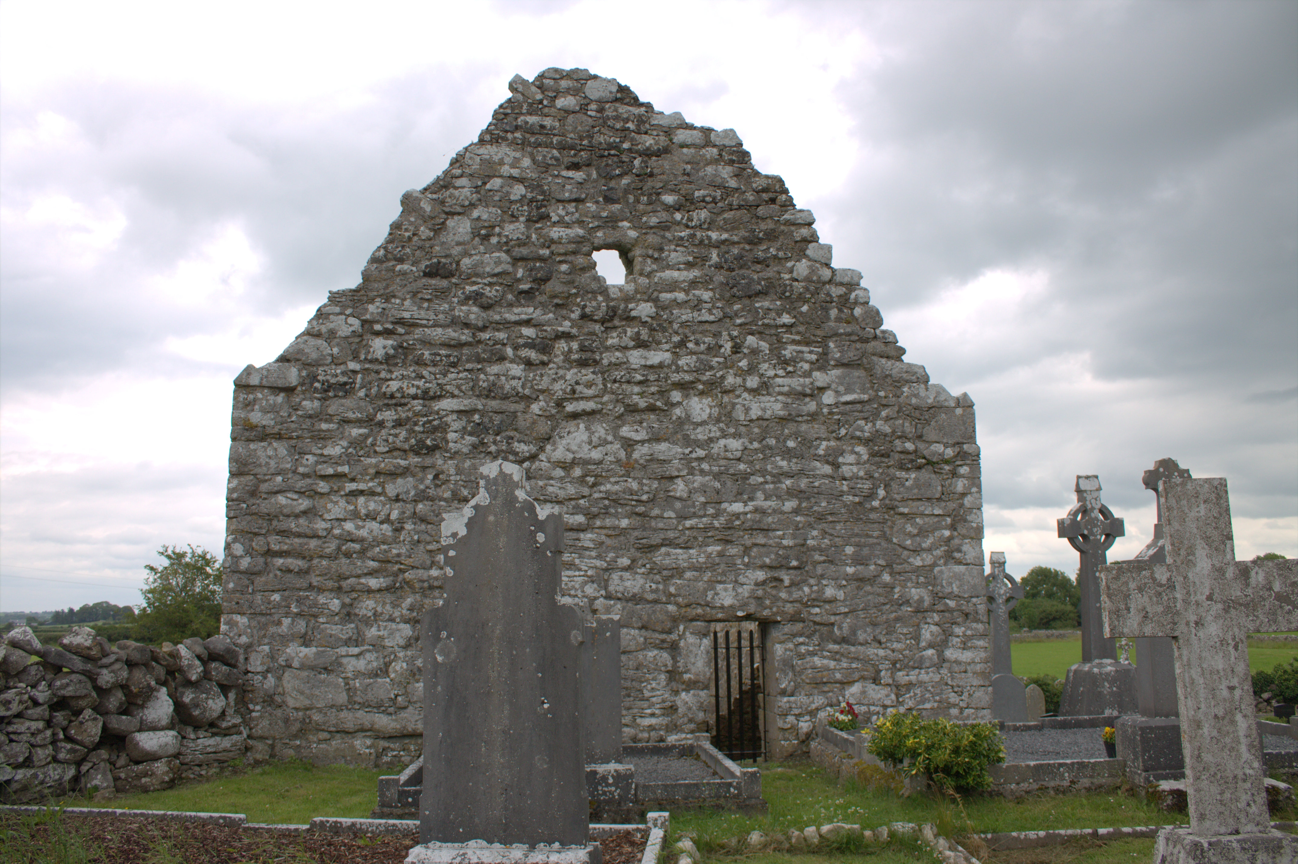 Killomoran Church (in ruins)Church · 1290 yd
 Castle in ruinsCastle, unclassified · 1363 yd
 Cahererillan CastleCastle · 1.8 mi
 Coole-Garryland Nature ReserveNature reserve · 2.1 mi
 Coole ParkWood · 2.5 mi
 Kilmacduagh Monastic SiteVisitor information · 3.9 mi
 Mulroney's IslandIslet · 3.9 mi
 Kilmacduagh MonasteryHeritage attraction · 4.0 mi
 Cusheen IslandIslet · 4.3 mi
Other information
Photo: Credit not shown in the picture search · Rights wording not checked; contact us if this picture should be removed