What is recorded here
Indicated is a fairy fort in County Kerry, Ireland. It occupies a circular area about twenty-eight metres across on a north-west-facing slope, where a low rise and an inward scarp still mark the old boundary. The landowner calls it the fort field, and that practical name suggests people lived beside or inside the ring before it became a story.
In pasture, on a NW-facing slope. A circular area (c. 28m E-W) defined by a low rise W-E and by a scarp, which slopes inwards towards the concave interior, E-W. The low rise marking the line of the levelled bank is most noticeable along the NE arc where it is adjacent to a field boundary. According to the landowner, the field is known as 'the fort field'. The rath is indicated on the 1846 OS 6-inch map as a circular enclosure (diam. c. 25m). This is probably the rath in the N side of Ballyhar which was mentioned in the 1840s (OSNB, Kilcredane, 12).
Compiled by: Elizabeth Byrne, Ursula Egan and Sheila Ronan, Archaeological Survey Unit, University College, Cork.
Date of upload: 31 January 2011
The monument record does not grant public access. Check the route and ask the landowner before entering private land.
- What survives
- Recorded monument
Places near here
 R.C. ChapelChurch · 212 yd
 Ballyhar Br.Bridge · 704 yd
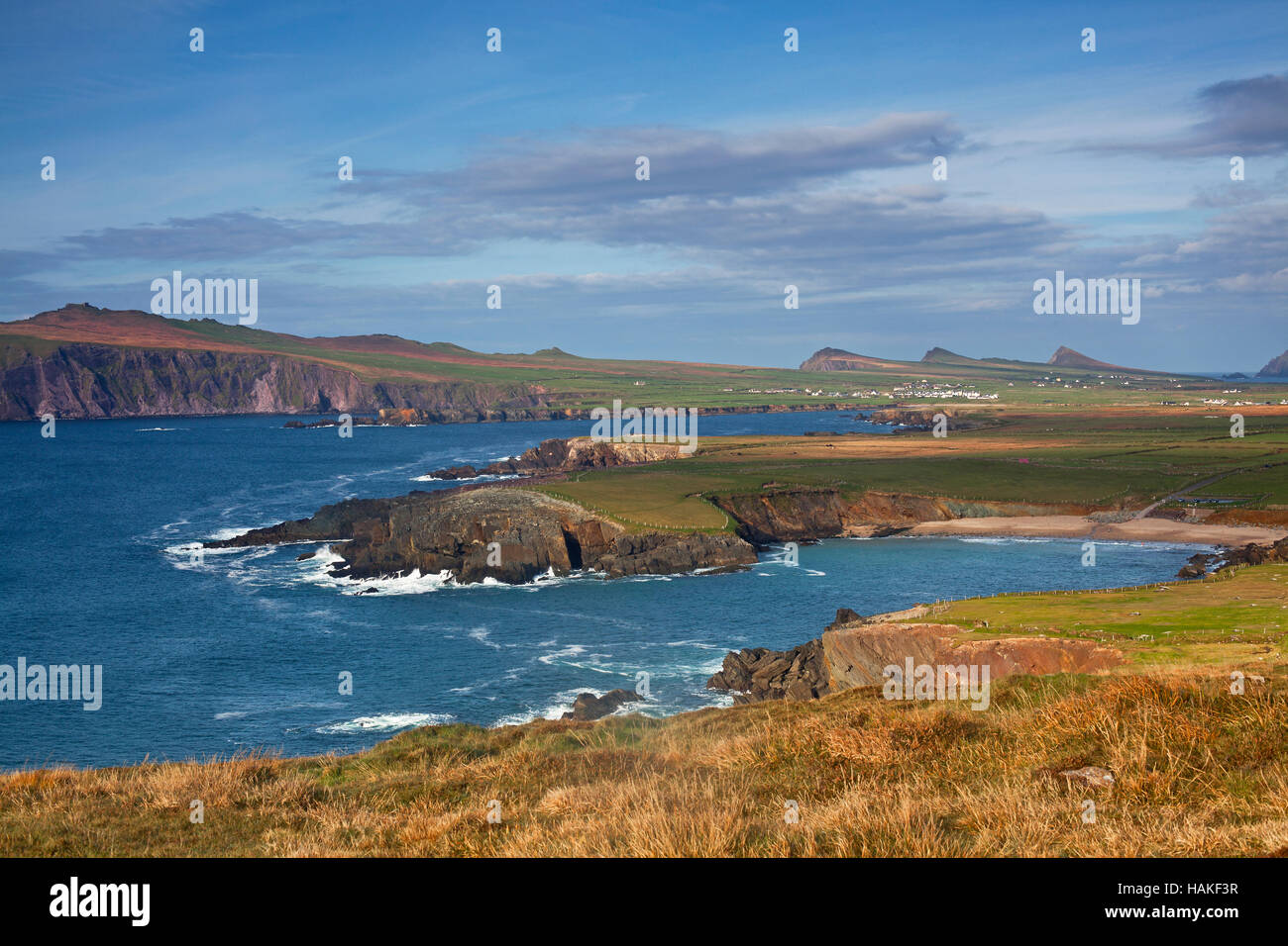 IndicatedFairy fort / earthen ringfort · 747 yd
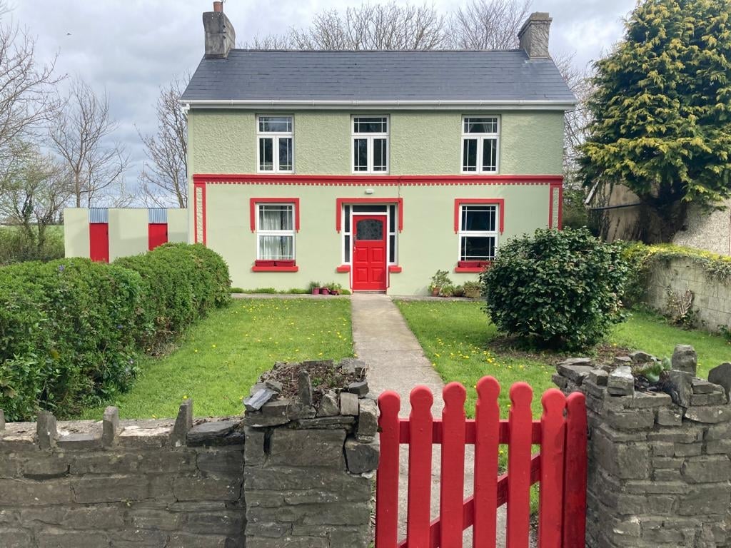 Enclosure in Cloonydonigan UpperEnclosure · 955 yd
 Aghadoe Early Medieval Ecclesiastical SiteHeritage attraction · 3.0 mi
 Parkavonear CastleCastle · 3.1 mi
 Fieries CastleCastle · 3.3 mi
 Famine MemorialMemorial · 4.2 mi
 Circular WalkWalking route · 4.4 mi
 GinkgoGinkgo · 4.4 mi
 The Kerry Creamery ExperienceHeritage attraction · 4.5 mi
 Giant SequoiaGiant Sequoia · 4.6 mi