What is recorded here
Indicated is a worn fairy fort on the west side of a Cork farmyard, its thirty-seven metre circle marked by a low earthen bank and coniferous trees. It belongs to the old rath tradition, where human hands shaped the land before memory faded. The underground passage beneath the trees suggests the fort did not end at the soil surface but continued downward, hiding room or ritual from ordinary sight.
On W side of farmyard, in tillage. Roughly circular area (diam. 37m) defined by worn earthen bank (H 0.89m) in parts; field boundary elsewhere. Interior planted with coniferous trees; Man-made underground passage (CO072-033002-).
The above description is derived from the published 'Archaeological Inventory of County Cork. Volume 3: Mid Cork' (Dublin: Stationery Office, 1997). In certain instances the entries have been revised and updated in the light of recent research.
Date of upload/revision: 14 January 2009
The monument record does not grant public access. Check the route and ask the landowner before entering private land.
- What survives
- Recorded monument
Places near here
 Ballyanly Inniscarra Slí na SláinteWalking route · 553 yd
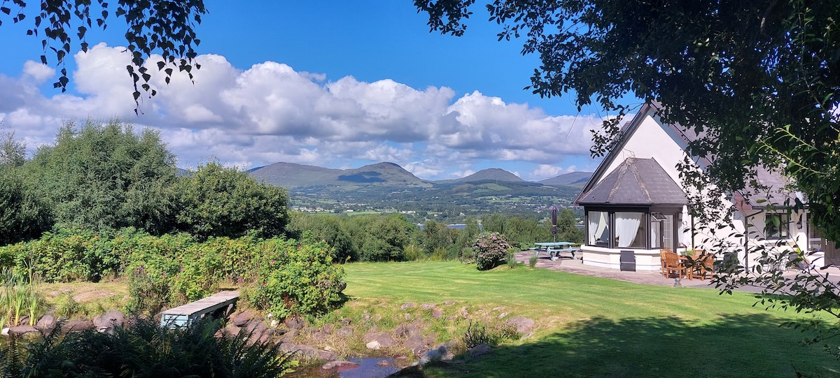 Man-made underground passage in BerringsMan-made underground passage · 1095 yd
 Country house in ArdrumCountry house · 1258 yd
 IndicatedKiln, lime · 1534 yd
 Mass-rock in Ballyshoneen (muskerry East By., Inishcarra Par.)Mass-rock · 1582 yd
 Bob AdamsMemorial · 1.4 mi
 Castle Inch (in Ruins)Castle, tower house · 1.8 mi
 Iniscarra Dam ViewViewpoint · 2.3 mi
 Hugh MaguireMemorial · 3.0 mi
 Carrignamuck Tower HouseCastle · 3.2 mi
 Coachford Greenway (End)Visitor information · 3.4 mi
 Farran WoodWood · 3.8 mi