What is recorded here
This enclosure is depicted as a post-1700 landscape feature on the current edition of the OS 6-inch map and is not indicated on the first edition of the OS 6-inch map. Cartographic evidence would suggest that this is a tree-ring of post 1700-date.
Compiled by: Caimin O'Brien
Date of upload: 15 October 2010
The monument record does not grant public access. Check the route and ask the landowner before entering private land.
- What survives
- Recorded monument
Places near here
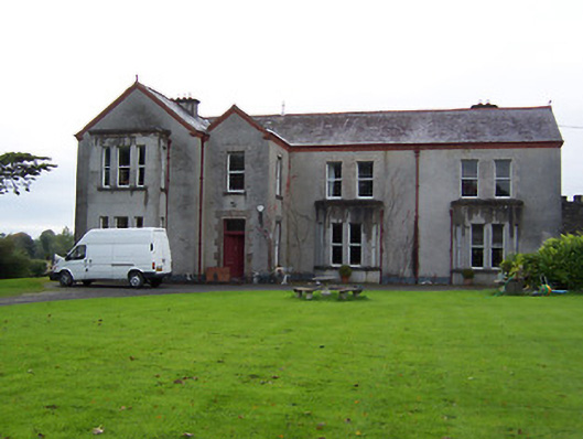 Ballinderry Housecountry house · 443 yd
 gates/railings/wallsgates/railings/walls · 550 yd
 Crannog in BallynahinchCrannog · 1125 yd
 Nolt indicatedCrannog · 1131 yd
 Moyally Castle (in Ruins)Bawn · 1.3 mi
 Bawn in Cartronkeel (clonlonan By.)Bawn · 1.5 mi
 Moate HillMountain / peak · 1.6 mi
 Charles BianconiMemorial · 1.7 mi
 The Bob Traynor GalleryGallery · 1.8 mi
 Dún na Sí Heritage CentreMuseum · 2.1 mi
 Roughan HillMountain / peak · 3.3 mi
 ToberaskeenSpring · 3.6 mi