What is recorded here
In rough grazing on SW-facing slope. Arc formed by low earthen bank, in NE quadrant of roughly circular area enclosed by modern stone wall E->N and laneway to NE. Interior very uneven; heavily overgrown. Enclosure hachured as circular (diam. c. 25m) on OS 6-inch map (1842).
The above description is derived from the published 'Archaeological Inventory of County Cork. Volume 1: West Cork' (Dublin: Stationery Office, 1992). In certain instances the entries have been revised and updated in the light of recent research.
Date of upload/revision: 14 January 2009
The monument record does not grant public access. Check the route and ask the landowner before entering private land.
- What survives
- Recorded monument
Places near here
 Ring Fort / LiosArchaeological place · 12 yd
 Ballincolla VillageArchaeological place · 454 yd
 The Old Schoolhouseschool · 1056 yd
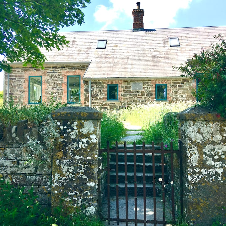 Strand of the Old HouseBeach / strand · 1068 yd
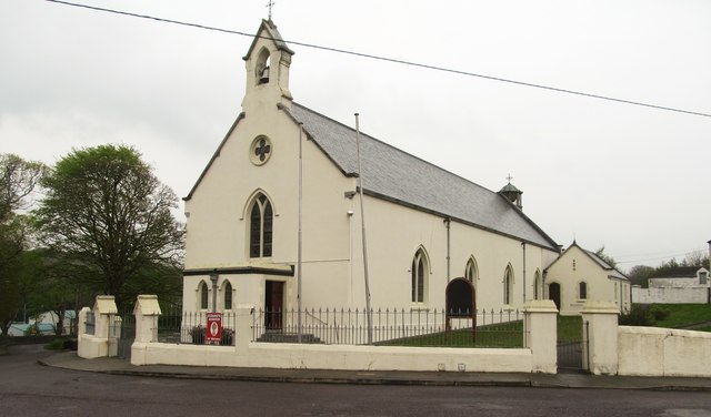 Saint Bridget's Catholic Churchchurch/chapel · 1126 yd
 Coastguard StationRuins · 1147 yd
 Carraig-ín MhóireNamed rock · 1279 yd
 Castle IreCastle · 1332 yd
 Cooks WoodWood · 1335 yd
 GleannWood · 1418 yd
 Seomraí Faoi ThalamhCave · 1435 yd
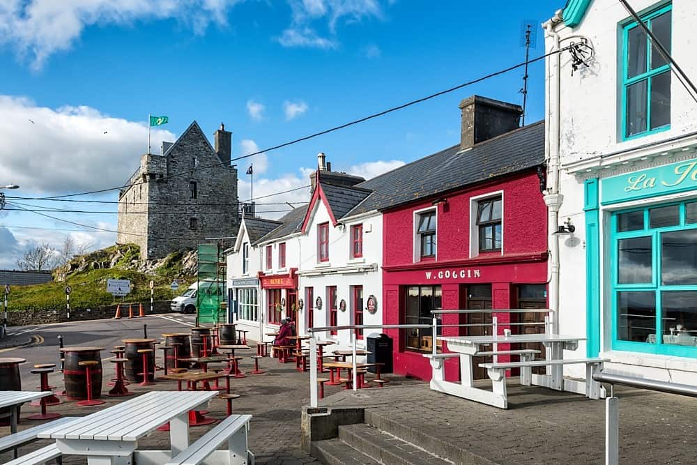 Cúisín DarraíBeach / strand · 1504 yd