
What is recorded here
On a low hillock in rough pasture and rushes, overlooked by hillocks to the E and S but with wide views to the N. Partially indicated on the first edition (1842) of the OS 6-inch map; outlined on the subsequent OS 25-inch plan (1897) and hachured on the Cassini edition (1920) of the OS 6-inch map. Listed as 'Enclosure' in the RMP (1996). An almost circular rath (diams. c. 21m N-S; c. 20m E-W) is defined ESE-WNW by a broad, low, round-topped bank (av. Wth 7m; H 1m). From WNW-E the rath is defined by a wide berm (Wth 5-8m), outside of which is a natural scarp. A stone wall (H 1m) is built immediately to the S of this berm, following its curvature and extending E and W from the rath. A gap (Wth 2.1m) at the E may be an original entrance but is in use as a pathway. The interior is slightly dished. A fulacht fia (CL008-134----) lies c. 98m to the WNW.
Summary by: Gearóid Conroy and Conn Herriott
Date of upload: 24 November 2022
Aughiska More is a partially surviving early-medieval ringfort, likely dating to between the 6th and 10th centuries, situated on a low hillock with strategic views to the north. Local folklore, common to many such sites, associates it with the supernatural, particularly as a dwelling or meeting place of the fairies.
The monument record does not grant public access. Check the route and ask the landowner before entering private land.
- What survives
- Recorded monument
Places near here
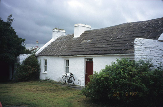 farm housefarm house · 314 yd
 Enclosure in Carnaun (corcomroe By.)Enclosure · 1.0 mi
 Spectacle Bridgebridge · 1.0 mi
 Knockaskeheen CaherFairy fort / stone ringfort · 1.2 mi
 Doolin Road SinkCave · 1.3 mi
 St. Catherine's OneCave · 1.4 mi
 CastleCastle, unclassified · 1.9 mi
 Doolin Cave Visitor CentreHeritage attraction · 2.0 mi
 Ballinalacken CastleCastle · 2.2 mi
 Ballyteigue Nature ReserveNature reserve · 2.5 mi
 Doolin FerriesHeritage attraction · 3.3 mi
 Wild Atlantic Way: Doolin PierVisitor information · 3.3 mi
Other information
Photo: Credit not shown in the picture search · Rights wording not checked; contact us if this picture should be removed