
What is recorded here
Indicated is a graveyard south of Clifden where older graves cluster southwest and modern ones stretch east. A holy well sits inside the southeast boundary, suggesting the dead and the living both drew water from the same rise. The place has grown from a small mapped enclosure into a larger walled field, absorbing new loss while keeping its oldest markers exposed to the southern sky.
To S of Clifden town on a gentle S-facing rise. Indicated on 1st ed. of OS 6-inch map as an irregular enclosed graveyard (c. 30m by c. 45m). Subsequently enlarged and now bounded by a dry stone wall. Older graves, dating from 1800s, are concentrated towards SW and modern graves towards E. There is a holy well (GA035-006002-) in SE part of interior.
The above description is derived from the published 'Archaeological Inventory of County Galway Vol. I - West Galway'. Compiled by Paul Gosling (Dublin: Stationery Office, 1993).
Date of upload: 05 August 2010
The monument record does not grant public access. Check the route and ask the landowner before entering private land.
- What survives
- Recorded monument
Places near here
 Toberbeggan Holy WellHoly well · 50 yd
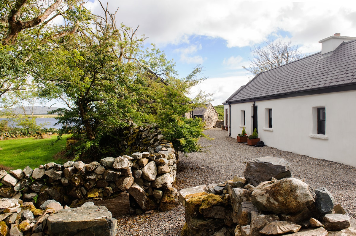 Ardbear Ho.Country house · 252 yd
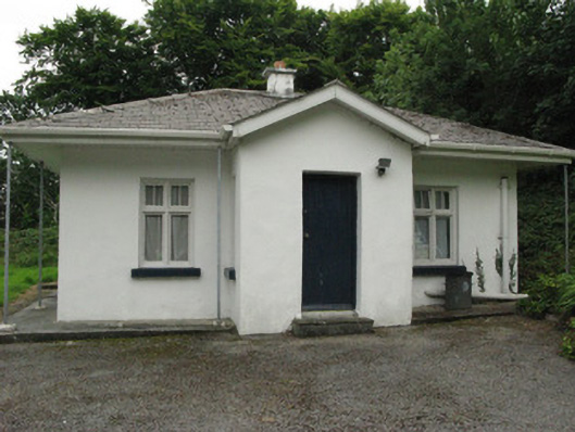 Ardbear Cottagegate lodge · 421 yd
 Monum.Monumental structure · 1182 yd
 Abbeyglen Castle HotelCastle · 1287 yd
 Station House MuseumMuseum · 1341 yd
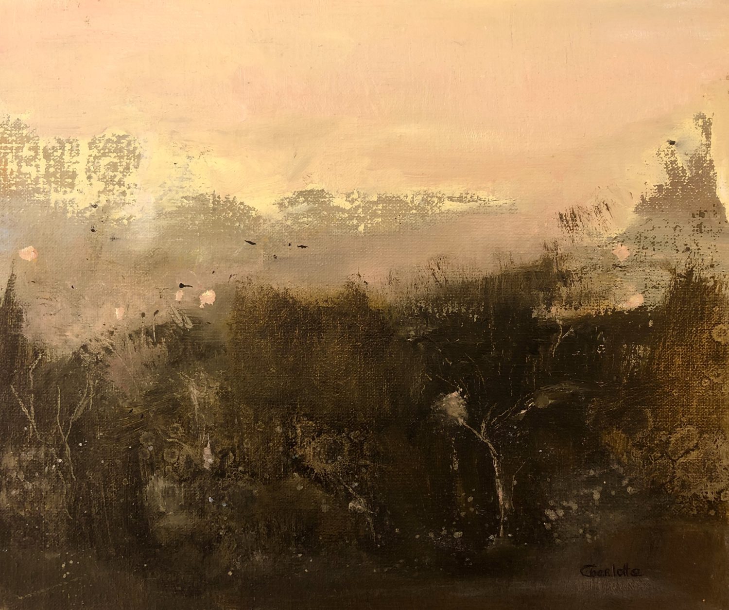 Lavelle Art GalleryGallery · 1345 yd
 Alcock and Brown Atlantic CrossingMemorial · 1472 yd
 Boolard IslandIslet · 2.8 mi
 Mannin BayBay · 2.8 mi
 Mannin Bay Coral StrandBeach / strand · 2.8 mi
 Bawn in Doon (ballynahinch By.)Bawn · 3.7 mi
Other information
Photo: Jonathan Wilkins · Creative Commons Attribution-ShareAlike 2.0