
What is recorded here
Situated on top of a small natural ridge in undulating grass-land. Depicted as a small oval shaped enclosure on the 1837 OS Fair Plan map and annotated as 'Fort'. Depicted as a circular tree-lined enclosure on the 1837 ed. OS 6-inch map but not indicated on subsequent editions. No surface remains visible of levelled monument.
Compiled by: Frank Coyne and Caimin O'Brien
Date of upload: 20 April 2017
The monument record does not grant public access. Check the route and ask the landowner before entering private land.
- What survives
- Recorded monument
Places near here
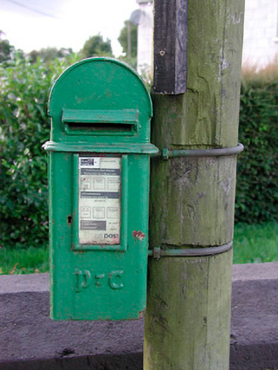 post boxpost box · 399 yd
 Archerstown Church in ruinsChapel · 967 yd
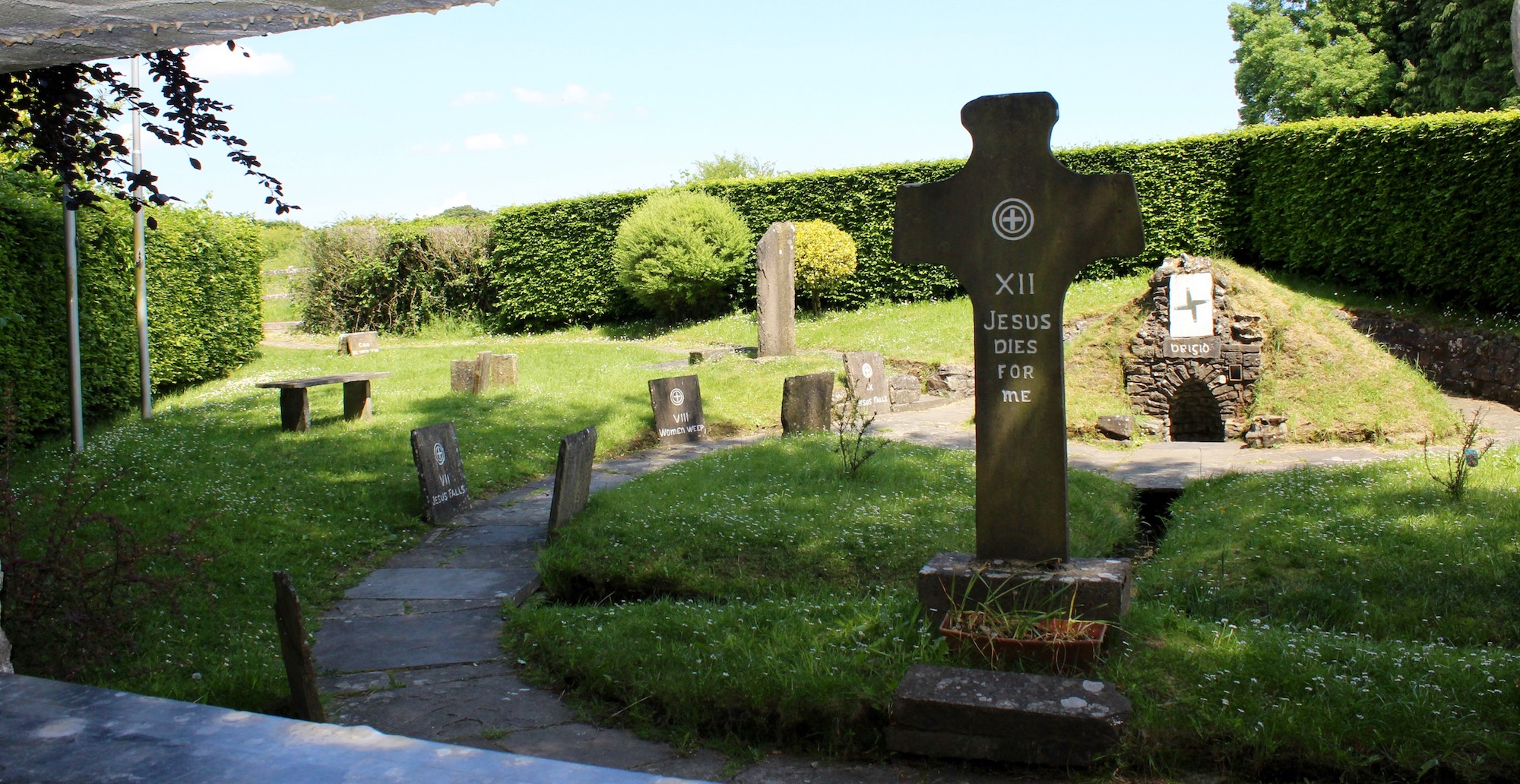 Ecclesiastical enclosure in ArcherstownEcclesiastical enclosure · 979 yd
 Bawn in ArcherstownBawn · 1281 yd
 Brownstown OldSettlement cluster · 1494 yd
 Bradley's WoodWood · 1.6 mi
 Kells HillMountain / peak · 1.7 mi
 The Sloe HillMountain / peak · 1.8 mi
 Bawn in Scurlockstown (delvin By.)Bawn · 1.9 mi
 The FurzeForest · 2.1 mi
 South East GateHeritage attraction · 5.0 mi
 Zip WireHeritage attraction · 5.1 mi
Other information
Photo: Credit not shown in the picture search · Rights wording not checked; contact us if this picture should be removed