
What is recorded here
Situated on top of a drumlin c. 180m S of a loop on an E-W section of the River Shannon. This is a grass and rush-covered oval area (int. dims 31m E-W; 25m N-S) defined by a stone spread (Wth 2-3m) with some bushes where facing-stones are intermittently visible. A field wall on top of it has collapsed, and both features have been removed at E.
The above description is derived from 'The Archaeological Inventory of County Leitrim' compiled by Michael J. Moore (Dublin: Stationery Office, 2003). In certain instances the entries have been revised and updated in the light of recent research.
Date of upload: 23 September 2008
The monument record does not grant public access. Check the route and ask the landowner before entering private land.
- What survives
- Recorded monument
Places near here
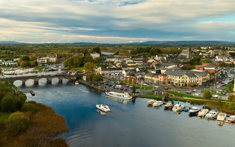 Sweat Ho.Sweathouse · 169 yd
 Republican Garden of RemembranceMemorial · 982 yd
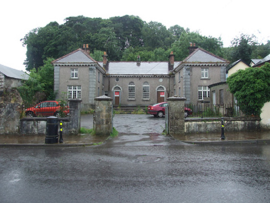 Dowra Court Housecourt house, garda station/constabulary barracks · 1105 yd
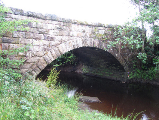 New Bridgebridge · 1181 yd
 Vapour BathSweathouse · 1.1 mi
 ArdlougherMountain / peak · 1.2 mi
 Corrard ForestForest · 1.6 mi
 CarrickbrannanMountain / peak · 1.7 mi
 TobermurrySpring · 2.2 mi
 Fahy RockIslet · 2.2 mi
 Forde's CastleCastle · 2.4 mi
 Gull IslandIslet · 2.6 mi
Other information
Photo: Credit not shown in the picture search · Rights wording not checked; contact us if this picture should be removed