What is recorded here
Indicated is a ruined stone ringfort on the NE side of Knag in County Kerry, Ireland. Its overgrown wall stands .7m high around a level interior where a stony mound hides an upright slab and a massive boulder. Local story claims the mound marks an infilled passage rather than field debris, leaving the true entrance and purpose still debated.
Internal diam. 14.3m N-S, 17m E-W
Situated on a level shelf on the NE side of Knag, just E of a S flowing stream, this ruined and overgrown caher affords a panoramic outlook to S. The fields in its immediate vicinity have been recently cleared, but the site itself remains largely undisturbed. Its enclosing wall consists of internal and external facing with a rubble core infill. The inner face is obscured by overgrowth and is largely flush with the level of the interior of the site. The wall is 2.3m wide and is preserved to an average external height of .7m. Collapse abuts its external face along the S sector. It is not clear where the entrance to the caher was located.
An overgrown stony mound, 5.8m in diameter, occupies the SW quadrant of the site's interior. Incorporated into the mound is an upright slab, a large recumbent slab, 2.3m long, and a massive boulder. This feature may represent field clearance debris or may mark the infilled entrance to a Man-made underground passage (KE098-014001-) which is locally reputed to exist in the caher.
The above description is derived from A. O'Sullivan and J. Sheehan (compilers), 'The Iveragh peninsula: an archaeological survey of South Kerry'. Cork University Press (1996), no. 561. In certain instances the entries have been revised and updated in the light of recent research.
Date of upload: 29 July 2013
The monument record does not grant public access. Check the route and ask the landowner before entering private land.
- What survives
- Recorded monument
Places near here
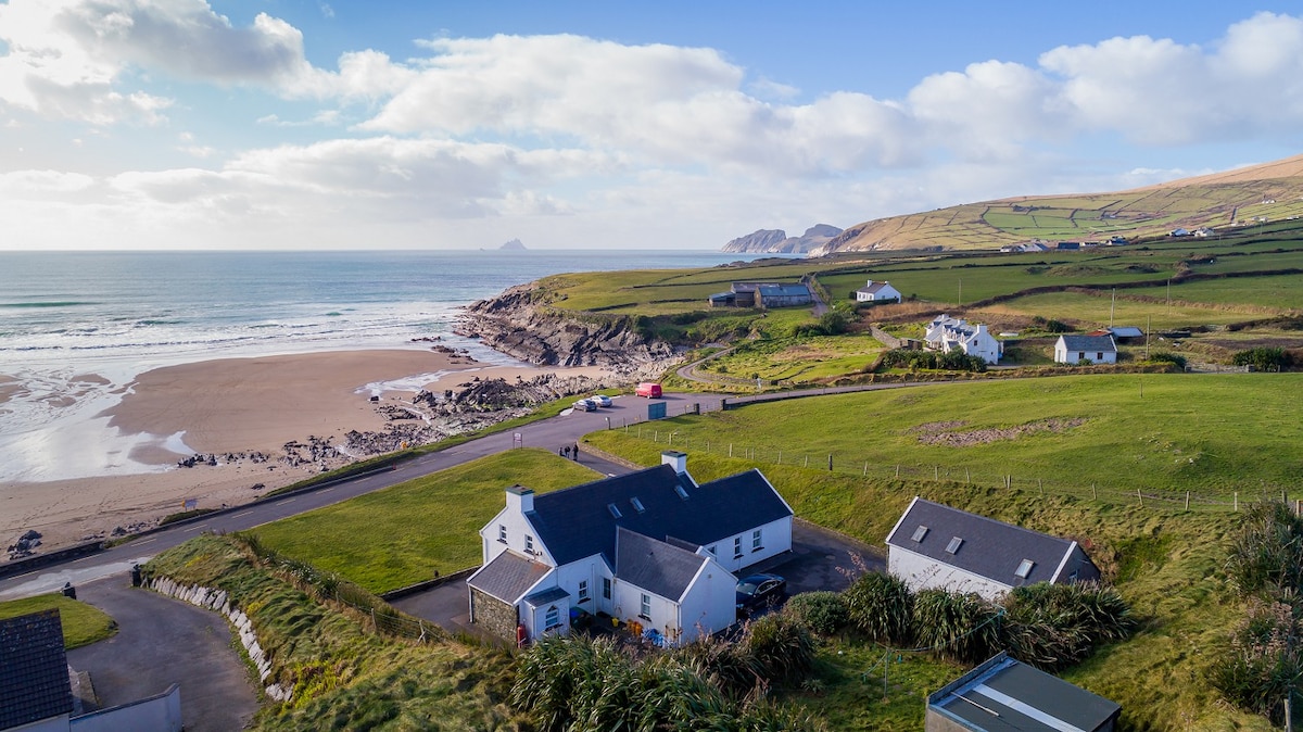 St Finans WellHoly well · 203 yd
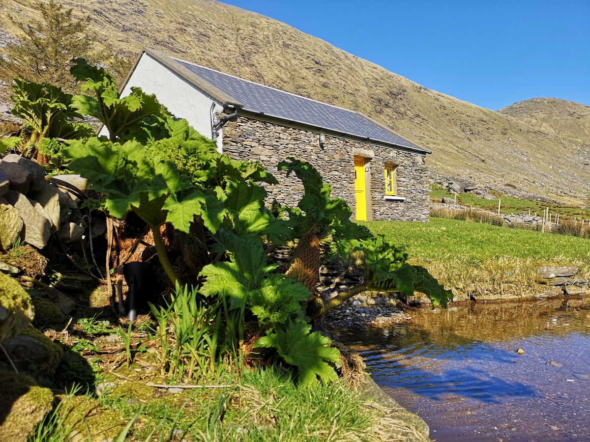 Hut site in An Chathair BhearnachHut site · 320 yd
 Dromod Church (in Ruins)Church · 1.1 mi
 St Finans CellHouse, early medieval · 1.1 mi
 CoomduffMountain / peak · 1.4 mi
 An PlaoscHeadland · 2.3 mi
 Butler MemorialMemorial · 2.5 mi
 CastleCastle, tower house · 2.5 mi
 T. C. Millerick MemorialMemorial · 2.6 mi
 GlanbegMountain / peak · 2.6 mi
 Waterville PromenadeWalking route · 2.7 mi
 Inny StrandBeach / strand · 3.3 mi