What is recorded here
Indicated as a small island in Aghakilconnell Lough (dims c. 370m NE-SW; c. 140m NW-SE) on the 1835 (diam. c. 10m) and 1911 (diam. c. 25m) editions of the OS 6-inch map. A small wooded island in the swampy lake is inaccessible through reed growth. What are described as 'three iron pots, one of them triangular' were found on this monument (Wood-Martin 1886, 243).
The above description is derived from 'The Archaeological Inventory of County Leitrim' compiled by Michael J. Moore (Dublin: Stationery Office, 2003). In certain instances the entries have been revised and updated in the light of recent research.
Date of upload: 23 September 2008
The monument record does not grant public access. Check the route and ask the landowner before entering private land.
- What survives
- Recorded monument
Places near here
 IndicatedFairy fort / earthen ringfort · 1511 yd
 St. Patricks WellHoly well · 1.0 mi
 Sheemore Ambush MemorialMonument · 1.5 mi
 Leabaidh DermotCave · 1.9 mi
 bridgebridge · 2.1 mi
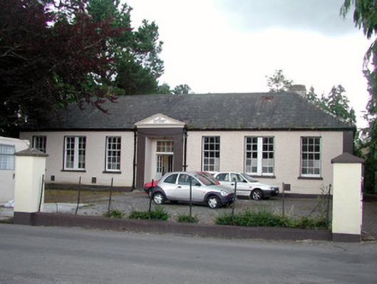 Keshcarrigan Vocational Schoolcollege · 2.2 mi
 Castle JohnCastle · 2.6 mi
 Rusheen IslandIslet · 2.7 mi
 Otter IslandIsland · 2.7 mi
 Shannon-Erne WaterwayVisitor information · 3.6 mi
 Sit of Breifny CastleCastle, tower house · 3.6 mi
 Battle of Áth an Chipbattle · 4.2 mi