
What is recorded here
Inch Castle Promontory Fort stands where land stops and sea takes over, its coastal position turning the waterfall into a wall and the cliff edge into a gate. People may have built there because the ocean did the heavy work of defense, leaving them only to stack stones, light fires and watch the water carry what it wanted. The forklift can move soil but it cannot explain why this narrow neck of earth still feels like a trap set for the tide.
The Archaeological Survey of Ireland (ASI) is in the process of providing information on all monuments on The Historic Environment Viewer (HEV). Currently the information for this record has not been uploaded. To access available information for research purposes please make an appointment in advance with the Archive Unit (open Fridays 10.00 am – 5.00 pm), Department of Housing, Local Government and Heritage, The Custom House, Dublin 1 D01W6XO or email NMarchive@housing.gov.ie.
The monument record does not grant public access. Check the route and ask the landowner before entering private land.
- What survives
- Recorded monument
Places near here
 Old CastleCastle, tower house · 14 yd
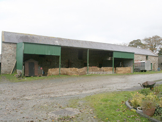 farmyard complexfarmyard complex · 637 yd
 Former Castlequarter Fairy FortFairy fort / ringfort · 1006 yd
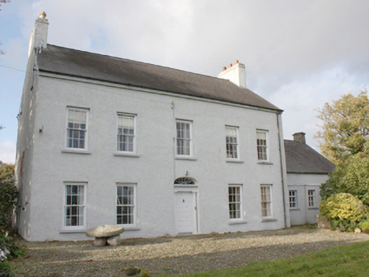 Drumgowanfarm house · 1173 yd
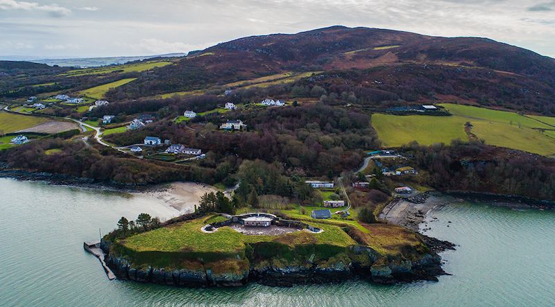 Ballymoney EnclosureEnclosure · 1335 yd
 King's GraveArchaeological place · 1642 yd
 InchIsland · 1.3 mi
 Mullanadee ShoreBeach / strand · 1.8 mi
 Burt CastleCastle, tower house · 1.9 mi
 Mass RockNamed rock · 2.0 mi
 Lackan ForestForest · 2.4 mi
 Brown’s PointHeadland · 2.6 mi
Other information
Photo: Alistair Cunningham · CC BY 3.0