What is recorded here
Grannagh's inauguration mound stood sixty-eight metres wide on Fahy's Hill, a flat-topped platform ringed by water-cut ditches where cream bones scattered but no kitchen fire ever smoked. Men may have climbed that seamless grass in thunderstorms to receive power from the land itself, while ordinary villagers pastured sheep around its base and forgot the ceremony altogether. The quarry took it in 1971, dragging ridge and memory into gravel trucks before scholars could measure what the stones had already released.
On a prominent gravel ridge, known locally as ‘Fahy's Hill’, in an area of flat pastureland. Regarded as a ringfort by Killanin and Duignan (1967, 69). Aerial imagery taken in 1970 (CUCAP BDN 37) shows that a large quarry was being developed immediately to its E. Consequently in 1971 a rescue excavation was undertaken by E. Rynne (pers. comm.) who described it as a large earthwork (max. diam. c. 68m) comprising a flat-topped mound (diam. c. 28m) encircled by a fosse and external bank. There was a gap (Wth 6m) at SE. Within the interior was a semicircular enclosure (diam. c. 5.5m) defined by a bank with an external shallow fosse. A number of seemingly haphazardly placed pits and/or post holes occurred in this area. Also found in this vicinity were two concentrations of cremated bones and one shallow cremation-burial. Rynne (ibid.) concluded that the exposed position and the complete lack of any trace of a hearth, together with the widespread scatter of small fragments of cremated bones, suggested that the site was not used for habitation but was more likely used for ritual purposes; it may have been an assembly place or an inauguration mound. No visible surface trace survives. A ring-barrow (GA114-088----) lay c. 30m to the NE.
Compiled by: Galway Archaeological Survey, UCG
Date of upload: 12 August 2019
The monument record does not grant public access. Check the route and ask the landowner before entering private land.
- What survives
- Recorded monument
Places near here
 Enclosure in Grannagh (loughrea By.)Enclosure · 414 yd
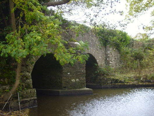 bridgebridge · 621 yd
 Enclosure in Bullaunagh (kiltartan By.)Enclosure · 762 yd
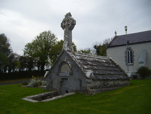 Saint Teresa's Catholic Churchmausoleum · 1136 yd
 Castle (in ruins)Castle, Anglo-Norman masonry castle · 1609 yd
 Rahaly Castle (in ruins)Castle, tower house · 1.3 mi
 European ashEuropean ash · 3.4 mi
 HawthornHawthorn · 3.4 mi
 KnockapollboyMountain / peak · 4.2 mi
 Drumharsna CastleHeritage attraction · 4.6 mi
 Scalpeen RockNamed rock · 4.7 mi
 KnocknarebanaMountain / peak · 5.9 mi
Other information
Photo: Credit not shown in the picture search · Rights wording not checked; contact us if this picture should be removed