What is recorded here
Youngfield holds a tiny circular hut on a sharp spur above a steep valley, its field-stone walls still standing sixty centimetres high. The eastern entrance is narrow enough for one person to edge through between two upright slabs, forcing entry into a space barely larger than a sleeping body. It faces south toward water that will later join the Kerry River, placing whoever lived there inside a clear line of descent from mountain to reserve. The small size and exposed position suggest a temporary shelter for watching weather, herding animals or waiting out a storm rather than a permanent home.
This monument was brought to the attention of ASI by the archaeologist Tony Miller on 25th June 2012. The following is his description of the monument:
"A small, circular hut site, situated on a spur, overlooking a steep south facing valley to the south of Baurearagh Mountain. It is an area of rough grazing with many scattered rocks and boulders. It contains a tributary of the Kerry River which later flows into the Glengarriff nature reserve. The hut site has internal measurements of c. 1.7m east-west and c. 1.8m north-south and the walls, made of field stones, survive to a height of c. 0.6m. There is a small entrance just c. 0.5m in width to the east, made of two radially set upright slabs. This site commands exceptional views of the valley below."
The monument record does not grant public access. Check the route and ask the landowner before entering private land.
- What survives
- Recorded monument
Places near here
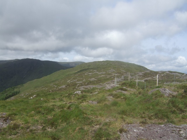 Baurearagh MountainMountain / peak · 512 yd
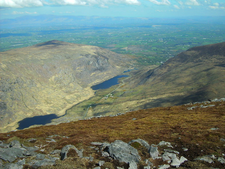 Killane MountainMountain / peak · 1173 yd
 IndicatedFairy fort / earthen ringfort · 1597 yd
 Enclosure in Baurearagh (glanarought By., Banawn Ed)Enclosure · 1703 yd
 Gleninchaquin WaterfallWaterfall · 1.9 mi
 Gleninchaquin ParkHeritage attraction · 2.0 mi
 Molly Gallivan's Cottage & Traditional FarmMuseum · 2.8 mi
 Glengarriff WoodsWood · 2.8 mi
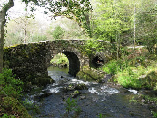 Glengarriff Nature Reservebridge · 3.0 mi
 Uragh Wood Nature ReserveNature reserve · 3.0 mi
 Dromoghty Ho.Country house · 3.2 mi
 DroppaCliff · 3.3 mi