What is recorded here
On level wooded ground, c. 3m SE of a cashel (SL046-021----); the ground slopes down immediately to S. The remains of a rectangular structure (6m WNW-ESE; 2.7m NNE-SSW) the walls of which are evident as a gapped line of low contiguous stones (max. H 0.4m), some of which are set on edge. In places the wall is obscured by tree-roots, ivy and a scattering of loose stones.
The above description is derived from the published 'Archaeological Inventory of County Sligo' compiled by Ursula Egan, Elizabeth Byrne, Mary Sleeman with Sheila Ronan and Connie Murphy (Dublin Stationery Office, 2005).
Date of upload: 18 January 2008
The monument record does not grant public access. Check the route and ask the landowner before entering private land.
- What survives
- Recorded monument
Places near here
 Enclosure in TawnymucklaghEnclosure · 613 yd
 Indicated (1838).Fairy fort / stone ringfort · 874 yd
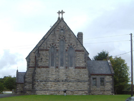 Saint Aidan's Catholic Churchchurch/chapel · 1067 yd
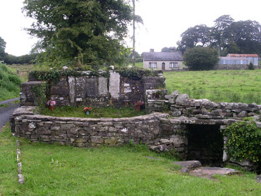 Saint Attracta's Wellholy well · 1.3 mi
 Crow IslandIslet · 1.5 mi
 Castle PointHeadland · 1.7 mi
 Moygara CastleCastle · 1.8 mi
 Moygara Castle (in Ruins)Bawn · 1.8 mi
 Inch IslandIslet · 1.9 mi
 Rose PointHeadland · 1.9 mi
 Square WoodForest · 5.0 mi
 Curlew MountainsMountain / peak · 5.1 mi