What is recorded here
Centrally located within the site are the remains of a circular hut (KE096-006001-) with an average internal diameter of 6m. Its sod-covered drystone wall averages .5m high and 2.2m wide. A gap at E may mark the location of its entrance.
The above description is derived from A. O'Sullivan and J. Sheehan (compilers), 'The Iveragh peninsula: an archaeological survey of South Kerry'. Cork University Press (1996), no. 542. In certain instances the entries have been revised and updated in the light of recent research.
Date of upload: 29 July 2013
The monument record does not grant public access. Check the route and ask the landowner before entering private land.
- What survives
- Recorded monument
Places near here
 St. Kierans FortFairy fort / earthen ringfort · 1 yd
 St. Finans WellHoly well · 138 yd
 Cuas a' PhúcaCave · 193 yd
 Carraig PhádraigCliff · 250 yd
 Tráigh na CilleBeach / strand · 273 yd
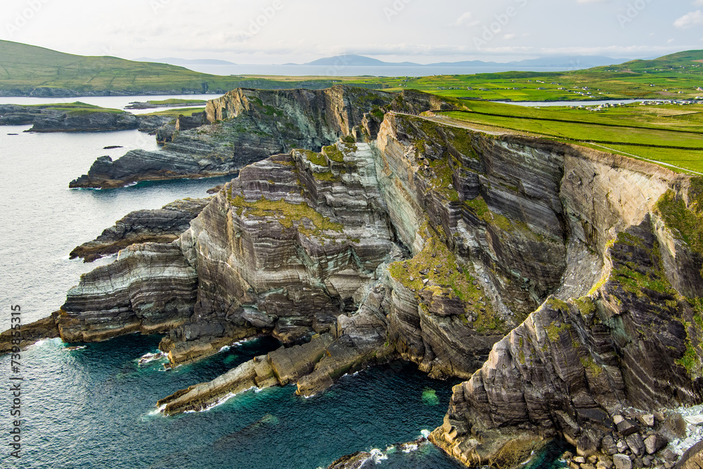 Cuas na TeorannHeadland · 320 yd
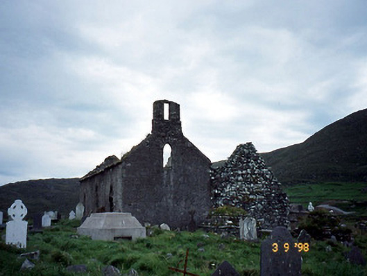 Séipéal na Cille [Killemlagh Catholic Chapel]church/chapel · 585 yd
 Tráigh LeagaighBeach / strand · 1147 yd
 Suíomh Eaglasta/ Ecclesiastical Site.Ruins · 1626 yd
 Cúm an EaspaigMountain / peak · 1.3 mi
 KillurlyMountain / peak · 1.4 mi
 Tobairin Holy WellSpring · 1.7 mi