What is recorded here
Listed as Mín na Saileach 5 (Costello 2016, 342). Oval hut site (ext. dims. 5m x 3.2m; int. dims. 2.7m x 1.6m) aligned E-W with walls (avg. H 0.65m; Wth 0.9m) constructed of rubble stone and sods. Possible entrance at SW. Located on slight terrace at head of valley. Waterlogged ground lies just E of structure which is built into slope. Wall material appears to have tumbled into interior over time, lending the structure a bowl-shape. Much moss and bracken overgrowth. Located on slight terrace at head of valley containing Sruthán na mBothóg, i.e. ‘Stream of the Huts’ (Costello 2020, 85).
See attached photographs courtesy of Dr. Eugene Costello
Compiled by: Dr Eugene Costello
Date of upload: 27 August 2020
The monument record does not grant public access. Check the route and ask the landowner before entering private land.
- What survives
- Recorded monument
Places near here
 An Port Coastal Promontory FortPromontory fort, coastal · 1.1 mi
 Not indiatedPromontory fort, coastal · 1.3 mi
 An Tor MórIslet · 1.3 mi
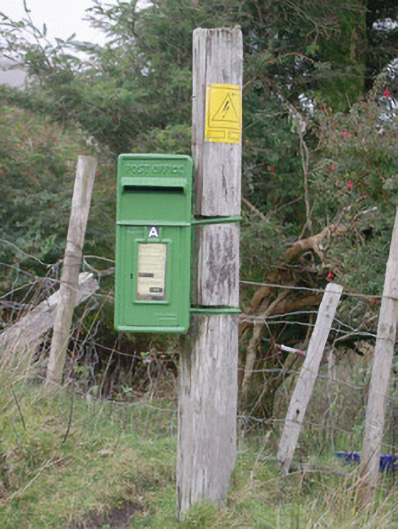 post boxpost box · 2.1 mi
 Church in LeathchoillChurch · 2.6 mi
 Glencolmcille Old GraveyardGraveyard · 3.2 mi
 Trá an GhleannaBeach / strand · 3.6 mi
 Glencolmcille Folk VillageMuseum · 3.9 mi
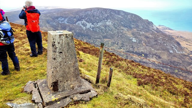 Sliabh TuaidhMountain / peak · 3.9 mi
 An Trá Bheag (Trá Bheag an Ghleanna)Beach / strand · 4.0 mi
 CroaghstraleelMountain / peak · 4.6 mi
 Rossan PointHeadland · 5.7 mi