What is recorded here
Within a field system (GA070-110002-). A small keyhole-shaped area (dims. 3.2m NE-SW; 1.6m WNW-ESE) defined by collapsed earth and stone bank (Wth. 2.2m; int. H 0.1-0.2m; ext. H 0.18-0.3m) may be the remains of a hut site. There is a narrow gap (Wth 1m) at SW and a wall (long axis WSW-ENE) associated with the field system extends from the W side of it. Stone is scattered loosely within the interior and also around the exterior. A house site (GA070-110003-) lies c. 10m to the SSW.
Compiled by: Olive Alcock
Date of upload: 24 February 2017
The monument record does not grant public access. Check the route and ask the landowner before entering private land.
- What survives
- Recorded monument
Places near here
 Enclosure in Knockdoebeg West,cnoc Tua MórEnclosure · 763 yd
 Enclosure in Knockdoebeg WestEnclosure · 929 yd
 European BeechEuropean Beech · 1042 yd
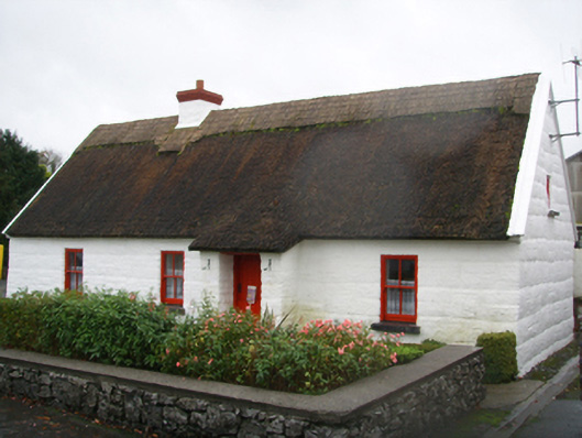 Lackagh Museum and Heritage Centrehouse · 1111 yd
 R.C. ChapelChurch · 1134 yd
 Kiltroge Castle (in ruins)Castle, tower house · 2.2 mi
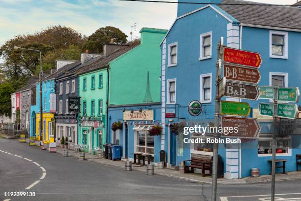 Cashlaunnagrantha in ruinsCastle, tower house · 2.3 mi
 Cregg Castle DemesneForest · 2.8 mi
 Ballinduff BayBay · 6.9 mi
 Kilcoona Round TowerHeritage attraction · 7.1 mi
 Oileán an BhreathnaighIslet · 7.9 mi
 Oileán an AoilIsland · 8.1 mi