What is recorded here
In rough heather-clad mountain pasture, on the break of a steep NE-facing slope with views NE over Lough Leane. The remains of a rectangular hut site (3.1m N-S; 1.9m E-W) defined by a collapsed drystone wall (T 0.6m; H 0.4m). The level interior is obscured by ferns. Rubble is spilling downslope externally from the SE corner. There is a hut site (KE066-141002-) c. 6m to the E and another (KE066-141001-) c. 75m to the N.
The above description is derived from the published 'Archaeological Inventory of County Kerry. Volume I: South-West Kerry' (Dublin: Stationery Office, 2009). In certain instances the entries have been revised and updated in the light of recent research.
Date of upload: 30 May 2011
The monument record does not grant public access. Check the route and ask the landowner before entering private land.
- What survives
- Recorded monument
Places near here
 Tomies Mountain North TopMountain / peak · 780 yd
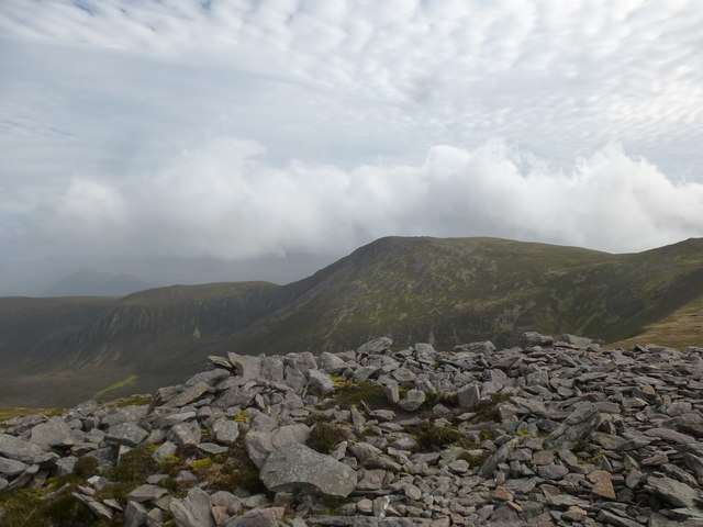 Tomies MountainMountain / peak · 1230 yd
 O'Sullivan's CascadeWaterfall · 1.1 mi
 Enclosure in Dunloe UpperEnclosure · 1.4 mi
 Sessile OakSessile Oak · 1.6 mi
 English hollyEnglish holly · 1.6 mi
 Hut site in Dunloe UpperHut site · 1.6 mi
 Rabbit or Brown IslandIslet · 2.0 mi
 Burnt IslandIslet · 2.1 mi
 Dunloe Ogham StonesHeritage attraction · 2.3 mi
 Castle (in Ruins)Castle, tower house · 2.3 mi
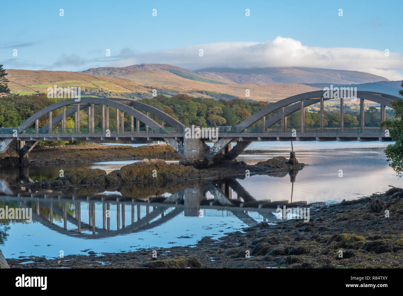 Very small BridgeHeritage attraction · 2.3 mi