What is recorded here
Dromultan holds a possible horseshoe-shaped hut built against the inner western bank of a hilltop ringfort, not a flat field but a steep pasture edge where a small dwelling may have caught the last light before dark. The same enclosure later became a children's burial ground, so the hut and the dead share one circle of earth. Perhaps a family lived at the edge of their own memorial, raising children beside the bones of children already lost.
Ringfort (KE049-025001-) reused as a children's burial ground (KE049-025001-) was described in 1986 by the Castleisland District Archaeological Survey as follows; 'Situated on top of a hill in an area of pasture. The interior of the ringfort was reused as a children's burial ground (KE049-025002-). Possible horseshoe shaped hut site open to W built against inner face of enclosing bank at W'. Circular-shaped feature depicted on revised ed. OSi 6-inch map may be the remains of a possible hut site. Outline of possible hut site visible on Google Earth orthophoto taken 03/02/2021.
See attached Google Earth orthoimage
Compiled by: Caimin O'Brien based on details provided by the Castleisland District Archaeological Survey
Date of upload: 21 April 2022
The monument record does not grant public access. Check the route and ask the landowner before entering private land.
- What survives
- Recorded monument
Places near here
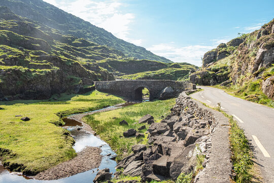 Man-made underground passage in Dromultan (trughanacmy By., Killeentierna Ed)Man-made underground passage · 1015 yd
 Man-made underground passage in BawnaskehyMan-made underground passage · 1532 yd
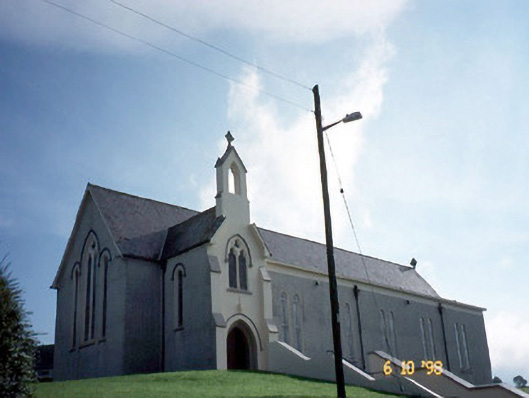 Catholic Church of Our Lady of Lourdeschurch/chapel · 1.2 mi
 Kilsarkan Church (in ruins)Church · 1.7 mi
 SlievebrickanMountain / peak · 1.8 mi
 Ballyplimoth CastleCastle · 3.4 mi
 Castle (in ruins)Castle, Anglo-Norman masonry castle · 3.5 mi
 Crag CaveCave · 4.4 mi
 Barna BogForest · 5.3 mi
 Mount EagleMountain / peak · 5.8 mi
 Famine MemorialMemorial · 8.8 mi
 GinkgoGinkgo · 8.9 mi