What is recorded here
One field NE of the second ringfort, a sub-circular earth and stone bank still marks the hut site in Dromcunnig. Inside the eastern edge, a semi-circular stone-lined area and a small mound of stones suggest a dwelling or workplace rather than a grand hall. The fieldbank runs north and west, guiding the eye toward the corner where the hut stood. People may have lived, stored or made things there before the field took the shape we know today.
Univallate ringfort KE021-091---- lies one field NE of KE021-092----. It is situated towards the corner of the field and a fieldbank runs to the N and W. This ringfort consists of a sub-circular area which is enclosed by an earth and stone bank.
On the E interior side of the enclosing bank is a semi-circular stone-lined area, and in front of the incurve is a small mound of stones. This feature could suggest a hut site (KE021-091001-).
The above description is derived from C. Toal, ‘North Kerry Archaeological Survey’. Dingle. Brandon in association with FAS Training and Employment Authority (1995), no. 743. In certain instances the entries have been revised and updated in the light of recent research.
Date of upload: 2 August 2013
The monument record does not grant public access. Check the route and ask the landowner before entering private land.
- What survives
- Recorded monument
Places near here
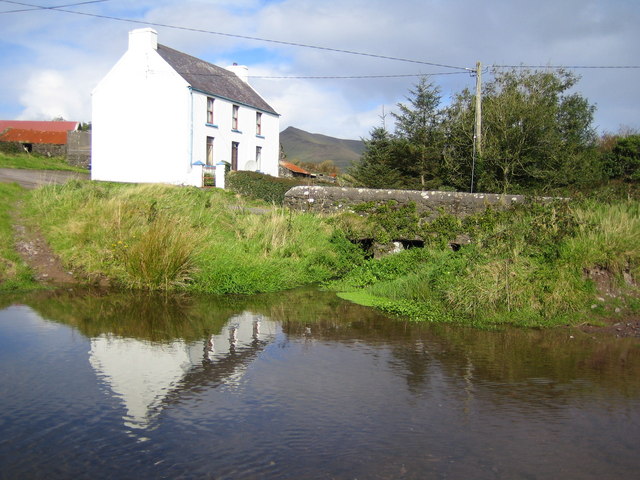 LissadroughArchaeological place · 1019 yd
 Enclosure in Lacka MoreEnclosure · 1.1 mi
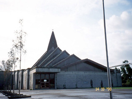 Saint Bernard's Catholic Churchchurch/chapel · 1.1 mi
 Church in Kilgulbin EastChurch · 1.4 mi
 Tobar na MoltSpring · 1.7 mi
 Kilflynn Nature ReserveNature reserve · 3.1 mi
 Ardfert Franciscan FriaryVisitor information · 3.3 mi
 Ardfert FriaryVisitor information · 3.4 mi
 Ballymacaquinn Castle (remains of)Castle · 3.4 mi
 Site of CastleCastle, unclassified · 3.4 mi
 CruslineMountain / peak · 3.5 mi
 Statue of Roger CasementMemorial · 3.6 mi