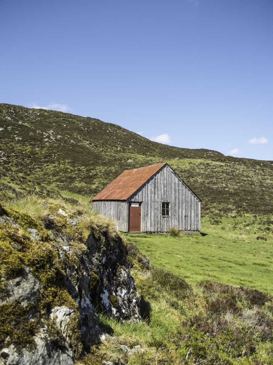
What is recorded here
A short distance N of the Owenreagh river and W of an area of forestry. A stone and earth hut of circular plan. D: 4.5m x 3.8m. H: .3m. T: 1.2m.
The above description is derived from A. O'Sullivan and J. Sheehan (compilers), 'The Iveragh peninsula: an archaeological survey of South Kerry'. Cork University Press (1996), no. 1254. In certain instances the entries have been revised and updated in the light of recent research.
Date of upload: 31 July 2013
The monument record does not grant public access. Check the route and ask the landowner before entering private land.
- What survives
- Recorded monument
Places near here
 Enclosure in Derrylahan (dunkerron North By.)Enclosure · 494 yd
 Eirk Bog Nature ReserveNature reserve · 570 yd
 KnocknasallaghMountain / peak · 737 yd
 Field boundary in GearhasallaghField boundary · 1266 yd
 Moll's GapViewpoint · 1686 yd
 Derrygarriff West TopMountain / peak · 1.1 mi
 Kissane Sheep FarmHeritage attraction · 1.6 mi
 Lord Brandon's CottageRuins · 2.9 mi
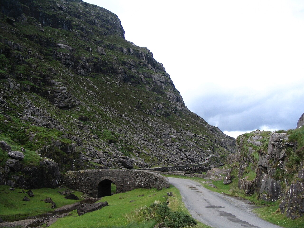 Gap of DunloeMountain pass · 3.3 mi
 Head of DunloeViewpoint · 3.3 mi
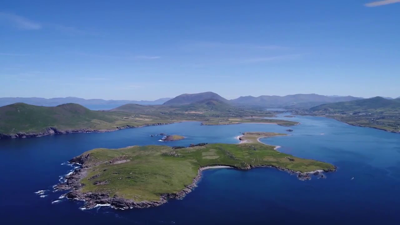 McCarthy's IslandIslet · 3.3 mi
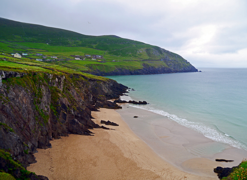 Ronayne's IslandIslet · 3.4 mi
Other information
Photo: Credit not shown in the picture search · Rights wording not checked; contact us if this picture should be removed