What is recorded here
Derreenacrinnig West holds a small rectangular hut on a sunny terrace above Castledonovan, its clay and stone walls still standing forty centimetres high after centuries of hill wind. The break at the southwest edge may have marked the entrance, inviting a person into a space narrow enough to feel the breath of everyone inside. Sheltered by rising ground on three sides, the site turned a rough grazing slope into a quiet room where heat from a fire could have lingered long after dark.
In rough hill grazing, on a terrace on a S-facing slope overlooking Castledonovan. The remains of a rectangular hut site (4.8m N-S; 1.8m E-W) defined by the lower courses of a clay and stone wall (T 0.6m; H 0.4m). A break at SW may indicate the entrance location. The site is sheltered by rising ground to the W, N and E.
The above description is derived from 'The Archaeological Inventory of County Cork. Volume 5' (Dublin: Stationery Office, 2009).
Date of upload: 22 December 2009
The monument record does not grant public access. Check the route and ask the landowner before entering private land.
- What survives
- Recorded monument
Places near here
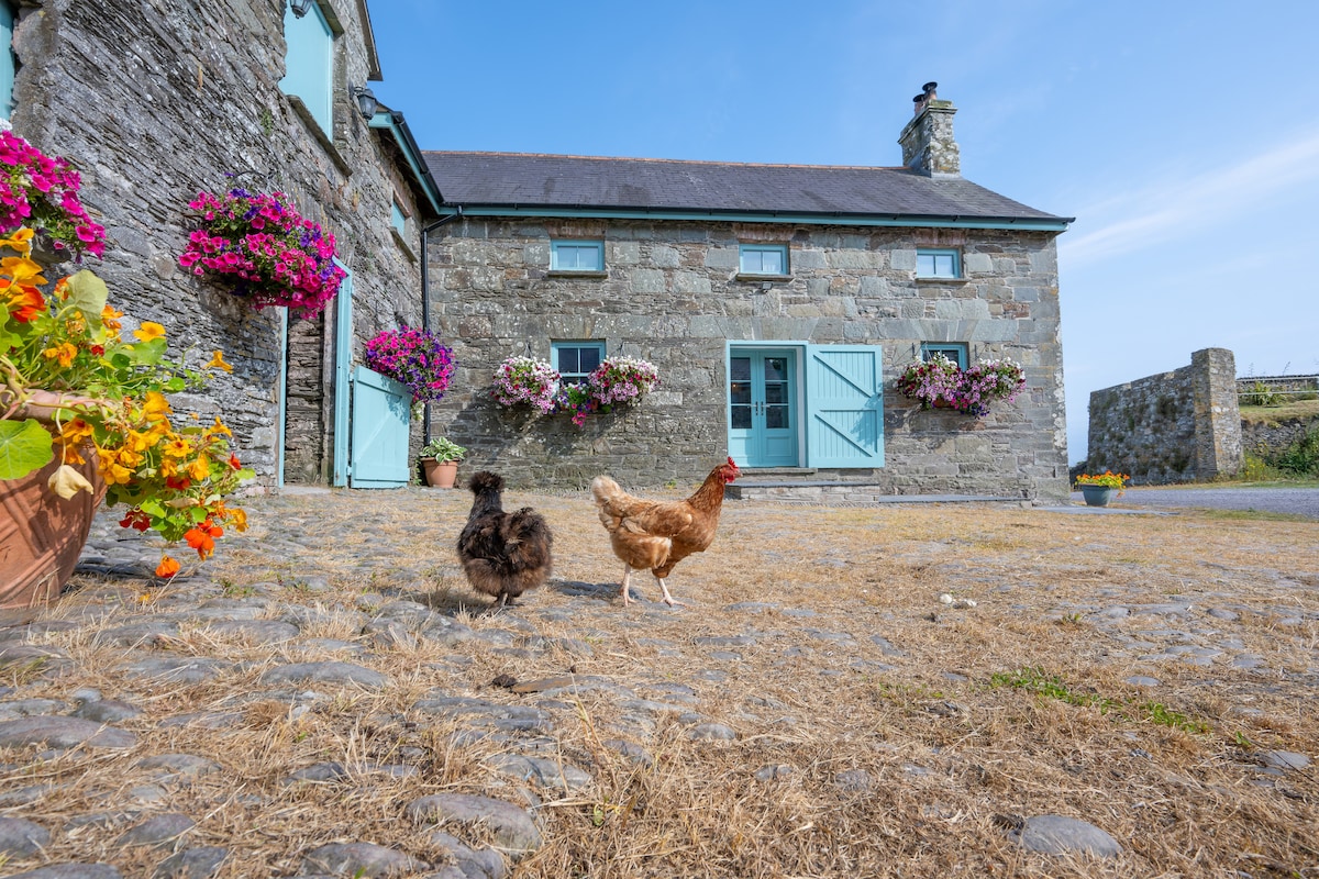 Hut site in Derreenacrinnig EastHut site · 670 yd
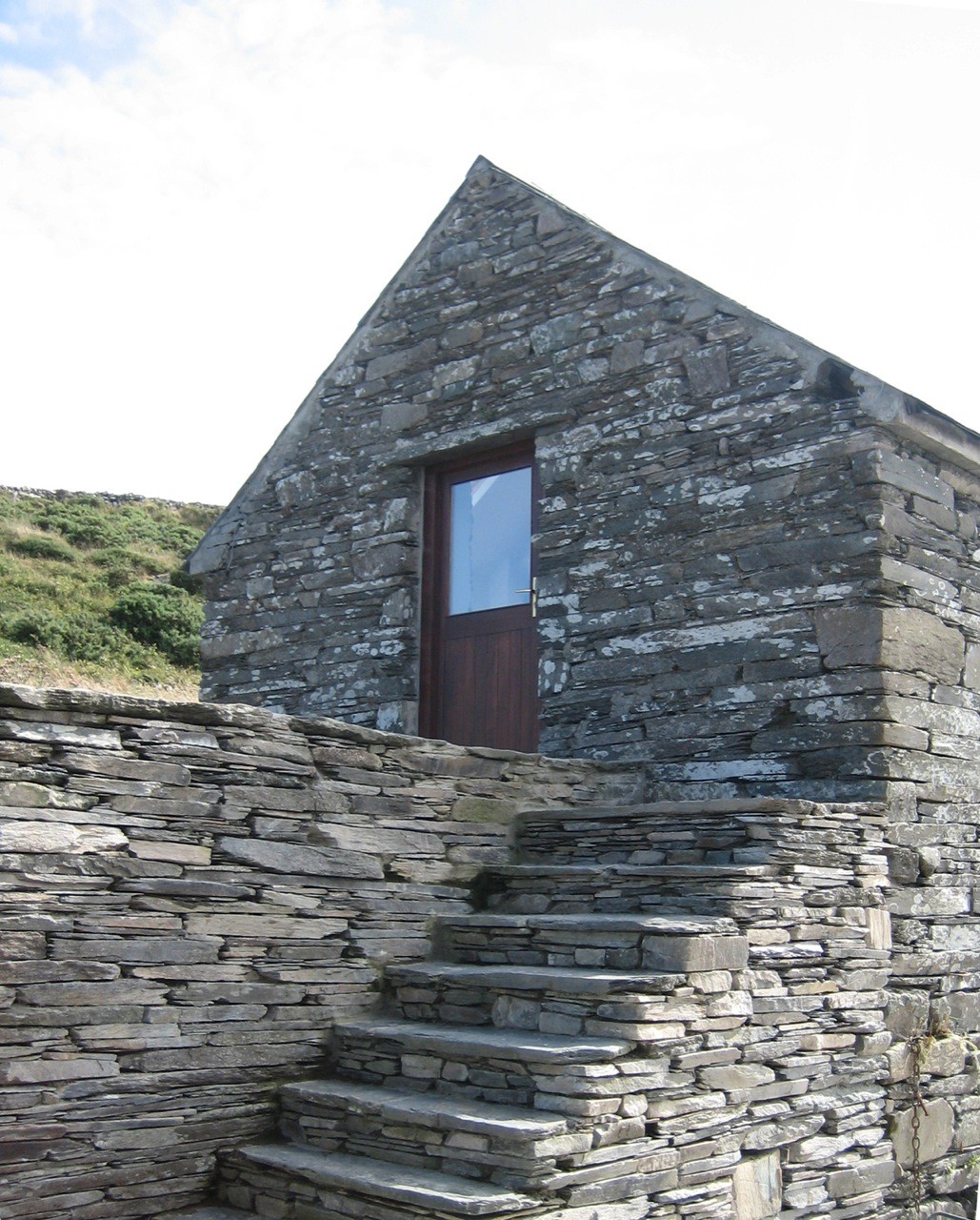 Enclosure in Derreenacrinnig EastEnclosure · 1025 yd
 Mullach MéiseMountain / peak · 1.1 mi
 Castle Donovan (in Ruins)Castle, tower house · 1.1 mi
 Castle DonovanCastle · 1.1 mi
 KilnKiln, corn-drying · 1.1 mi
 Nowen Hill SW TopMountain / peak · 1.3 mi
 Delish Cascade WalkWalking route · 2.0 mi
 Drimoleague Heritage Loop WalkWalking route · 3.1 mi
 Church (in Ruins)Church · 3.3 mi
 Francis O'Neill PlaqueMemorial · 4.1 mi
 Kealkill stone circleVisitor information · 4.3 mi
Other information
Photo: Credit not shown in the picture search · Rights wording not checked; contact us if this picture should be removed