What is recorded here
In rough grazing, with occasional surface boulders, on a break on a NW-facing hillslope. The remains of a circular hut site (7.5m NE-SW; 7m NW-SE) defined by a collapsed drystone wall (T 0.6m; H 0.4m) which is partially obscured by heather and moss. The almost level interior is raised (H 0.7m) at the NW and cut (D 0.4m) into the upslope at the SE to compensate for the hillslope. There is a hut site (CO106-067004-) c. 25m to the S and two other hut sites (CO106-067007-, CO106-067008-) are c. 30m to the W.
The above description is derived from 'The Archaeological Inventory of County Cork. Volume 5' (Dublin: Stationery Office, 2009).
Date of upload: 22 December 2009
The monument record does not grant public access. Check the route and ask the landowner before entering private land.
- What survives
- Recorded monument
Places near here
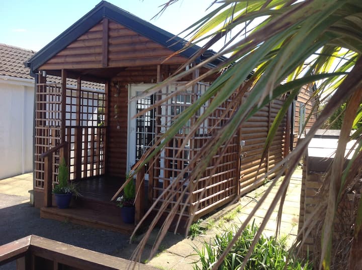 Hut site in Derreenacrinnig EastHut site · 82 yd
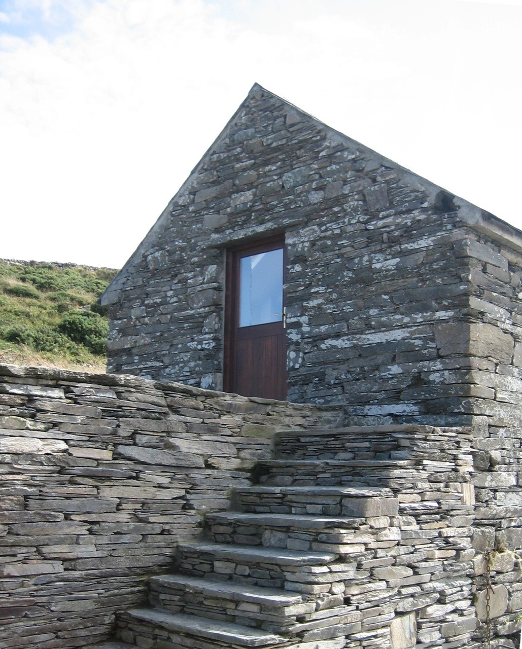 Enclosure in Derreenacrinnig EastEnclosure · 82 yd
 Castle Donovan (in Ruins)Castle, tower house · 1405 yd
 Castle DonovanCastle · 1410 yd
 KilnKiln, corn-drying · 1440 yd
 Nowen Hill SW TopMountain / peak · 1.0 mi
 Delish Cascade WalkWalking route · 1.5 mi
 Mullach MéiseMountain / peak · 1.7 mi
 Drimoleague Heritage Loop WalkWalking route · 2.7 mi
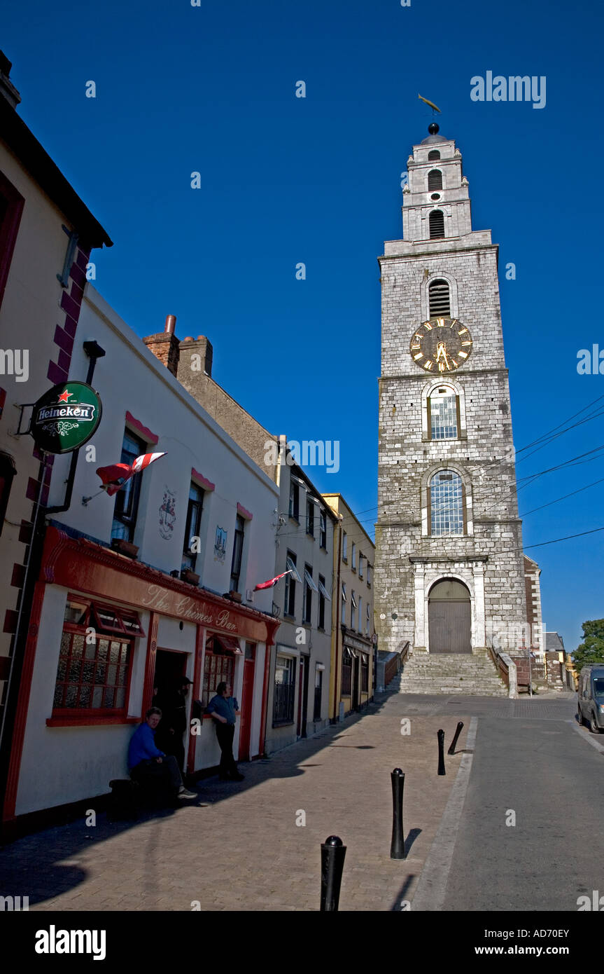 Church (in Ruins)Church · 2.8 mi
 Francis O'Neill PlaqueMemorial · 4.5 mi
 Kealkill stone circleVisitor information · 4.9 mi