What is recorded here
The official Northern Ireland record identifies this as Hut site. Recorded period: UNCERTAIN. The official map point was placed at the centre of the recorded archaeological site from the source map reference.
The monument record does not grant public access. Check the route and ask the landowner before entering private land.
- What survives
- Recorded monument
Places near here
 Semi-circular enclosure, possibly for sheltering boats in BallynoeSemi-circular enclosure, possibly for sheltering boats · 214 yd
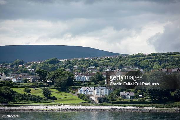 CarrickagileHeadland · 342 yd
 POSSIBLE PROMONTORY FORT in CraigmacaganPOSSIBLE PROMONTORY FORT · 357 yd
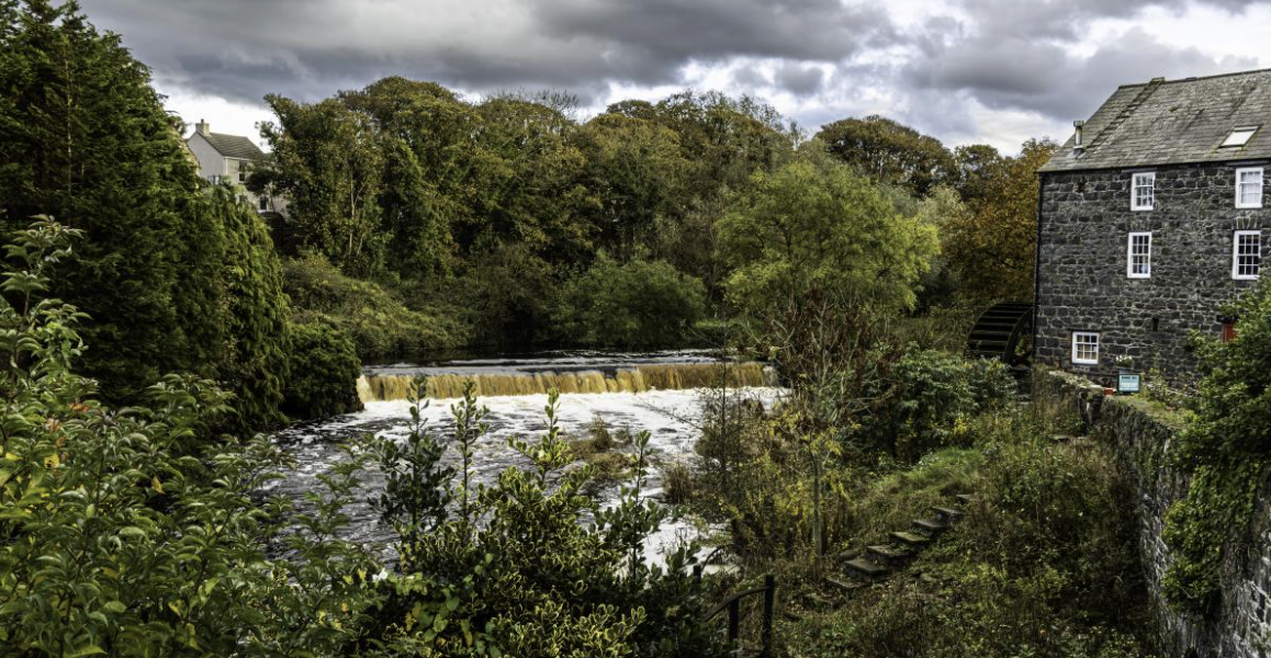 RuenascarriveHeadland · 422 yd
 Brackens CaveCave · 681 yd
 Kelp StoreKelp Store · 864 yd
 Kelp HouseRuins · 865 yd
 Boathouse Visitor Centre & MuseumMuseum · 1119 yd
 FORTIFICATION: BRUCE'S CASTLE in BallycarryFORTIFICATION: BRUCE'S CASTLE · 1426 yd
 Rathlin CastleRuins · 1461 yd
 Ballycarry Trail, RathlinWalking route · 1648 yd
 Rathlin IslandIsland · 1.9 mi