What is recorded here
Within a field system (KE070-119----). The remains of a circular hut site (2.7m x 2.6m) defined by a drystone wall (T 0.7m; H 1.4m) comprising flat rubble slabs, laid horizontally. The hut site is built against outcropping rock at W. The E portion of the hut site has been damaged by a drain. The present access is through a breach along the E arc. An upright stone adjacent to the breach may have served as a jambstone and may form part of the original entrance. Apart from the N portion of the interior, the internal ground level is lower than the external ground level. There is an annexe (L 2m; Wth 1.2m) of drystone construction to the NW of the hut site. Access to the annexe from the hut site is via a flat-lintelled doorway (Wth 0.57m; H 0.67m) in the NW wall of the hut site. External access to the annexe is through a now blocked-up entrance at its NW side. (Harte 2002, 62-3, 147-8, no. D502)
The above description is derived from the published 'Archaeological Inventory of County Kerry. Volume I: South-West Kerry' (Dublin: Stationery Office, 2009). In certain instances the entries have been revised and updated in the light of recent research.
Date of upload: 30 May 2011
The monument record does not grant public access. Check the route and ask the landowner before entering private land.
- What survives
- Recorded monument
Places near here
 Church in CaherlehillanChurch · 423 yd
 Field system in Coulagh,teeromoyleField system · 434 yd
 SheepfoldHut site · 738 yd
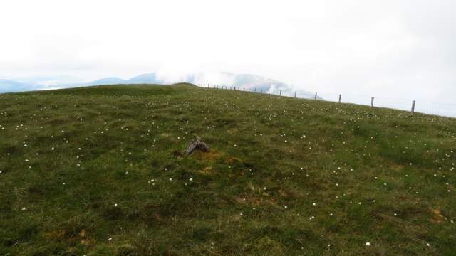 Been HillMountain / peak · 1.6 mi
 Teeromoyle MountainMountain / peak · 1.8 mi
 Soft Tree-fernSoft Tree-fern · 2.9 mi
 Chilean wine palmChilean wine palm · 2.9 mi
 Kells BeachBeach / strand · 3.1 mi
 Gleensk Viaductbridge · 3.3 mi
 Sheep Dog TrainingHeritage attraction · 3.4 mi
 Short Castle (Site of)Castle, unclassified · 3.6 mi
 Mountain StageViewpoint · 4.0 mi