
What is recorded here
Sub-circular stone hut located in cut-away bog on a high plateau Listed as Coolagarranroe 3 (Costello 2016) and described as a poorly preserved sub-circular hut site (ext. dims. 4.35 x 3.5m; int. dims. 1.7m x 1.4m) defined a low collapsed walls (avg. H 0.6m) (Costello 2016, 98; Costello 2016, 313). The walls are totally collapsed and not easily defined. A low point in the S wall may have been the entrance. None of the stones are dressed and there is no evidence of coursing whatsoever. No good grazing in the vicinity so doubtful if it was used as a booley hut, at least not in post-medieval period.
See attached photograph courtesy of Dr. Eugene Costello
Compiled by: Dr Eugene Costello
Date of upload: 26 August 2020
The monument record does not grant public access. Check the route and ask the landowner before entering private land.
- What survives
- Recorded monument
Places near here
 Aircraft Memorial 1976Memorial · 938 yd
 Seefin North TopMountain / peak · 1.0 mi
 Mountain Lodgehunting/fishing lodge · 1.4 mi
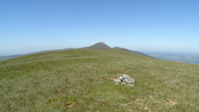 Greenane WestMountain / peak · 1.6 mi
 O'Loughman's CastleRuins · 1.7 mi
 Glengarra WoodForest · 1.7 mi
 Coopers WoodWood · 1.7 mi
 Hut site in KnocknagaltyHut site · 2.1 mi
 CairnCairn, boundary cairn · 2.3 mi
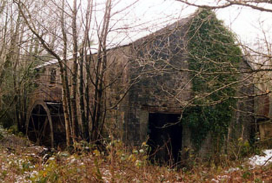 Galty Castlemill (water) · 2.3 mi
 Lough CurraWalking route · 3.2 mi
 Noel's NippleNamed rock · 3.2 mi
Other information
Photo: Credit not shown in the picture search · Rights wording not checked; contact us if this picture should be removed