What is recorded here
In a rath (MA062-017001-).
A possible house/hut site is evident as low, sod-covered D-shaped platform (8.5m N–S; 4m E–W to fence) located roughly in the centre of the E half of the rath, abutting the E side of a field fence that bisects the rath. The platform is defined by a low, curving scarp (Wth slope 1.2m; max. H 0.45m) incorporating stones along its top and sides. The straight side to W is bordered by the fence. To W of the fence there is ephemeral evidence to suggest a continuation of this feature, suggesting that it may be circular in plan, however, dense overgrowth made it difficult to confirm this. It is also possible that this marks the location of a Man-made underground passage (MA062-017002), which is shown on the 1837 6-inch map as a circular feature in the N half of the rath.
Compiled by: Jane O’Shaughnessy
Date of upload: 25 November 2020
The monument record does not grant public access. Check the route and ask the landowner before entering private land.
- What survives
- Recorded monument
Places near here
 IndicatedFairy fort / earthen ringfort · 983 yd
 Enclosure in BlackpatchEnclosure · 1095 yd
 HawthornHawthorn · 1655 yd
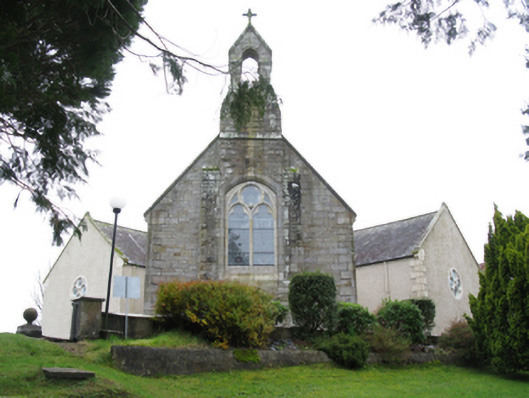 All Saints' Catholic Churchchurch/chapel · 1.1 mi
 bridgebridge · 1.2 mi
 Castle (in Ruins)Castle, unclassified · 1.3 mi
 Hennigan's Heritage CentreHeritage attraction · 1.4 mi
 Procession Of The SoulsMemorial · 1.5 mi
 Youth Memorial GardenMemorial · 1.5 mi
 Brabazon WoodsForest · 1.8 mi
 Thorn CaveCave · 4.9 mi
 Bawn in ToomoreBawn · 5.1 mi