What is recorded here
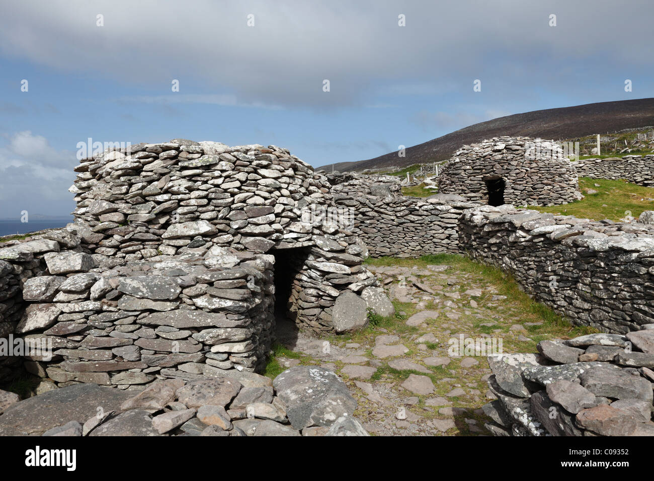
Clochán an Ardáin holds three or four hut sites inside a circular wall on the southeast slopes of Mount Eagle. Macalister measured the enclosure at thirty-seven metres in 1899, large enough to suggest a cashel rather than an ordinary farmstead. People may have lived there when mountains still belonged to nobody visible from distant roads. The huts keep that forgotten confidence intact beneath open sky.
Clochán an Ardáin: In open mountain terrain on SE slopes of Mount Eagle. A group of 3 or 4 hut sites (KE052-084---, -KE052-084001-, KE052-084002- & KE052-084003-) enclosed by an old field wall. On the 1st edition of the OS maps, the structures are located within a circular enclosure named Fort on the Fair Plan. Macalister (1899, 217-8) gives a diameter of 37m for the enclosure, and it is possible that this site was a cashel (KE052-084004-).
The above description is derived from J. Cuppage, ‘Corca Dhuibhne. Dingle Peninsula archaeological survey. Ballyferriter. Oidhreacht Chorca Dhuibhne’ (1986), no. 1396. In certain instances the entries have been revised and updated in the light of recent research.
Date of upload: 5 August 2013
The monument record does not grant public access. Check the route and ask the landowner before entering private land.
- What survives
- Recorded monument
Places near here
 Hut site in Cill Mhic An DomhnaighHut site · 16 yd
 Hut site in FánHut site · 401 yd
 Irish Famine CottagesMuseum · 884 yd
 Dunbeg FortHeritage attraction · 1208 yd
 Sliabh an IolairMountain / peak · 1247 yd
 Binn an ChomaMountain / peak · 1695 yd
 Church in Cill Ura ThoirChurch · 1.4 mi
 Ceann SléibheHeadland · 1.8 mi
 Church in Baile An GhleannaChurch · 1.8 mi
 Faill BearnaiscCliff · 1.9 mi
 Traigh an ChomaBeach / strand · 1.9 mi
 Trá Ciarán BeachBeach / strand · 2.4 mi