What is recorded here
In pasture on the lower SW slopes of Knocknaskereighta. The sod-covered foundations of a roughly constructed rectangular hut KE088-044----. Two probable hut platforms KE088-044001- & KE088-044002- nearby to W.
The above description is derived from A. O'Sullivan and J. Sheehan (compilers), 'The Iveragh peninsula: an archaeological survey of South Kerry'. Cork University Press (1996), no. 1306. In certain instances the entries have been revised and updated in the light of recent research.
Date of upload: 1 August 2013
The monument record does not grant public access. Check the route and ask the landowner before entering private land.
- What survives
- Recorded monument
Places near here
 Suíomh Eaglasta/ Ecclesiastical Site.Ruins · 55 yd
 Church in Cill BuaineChurch · 65 yd
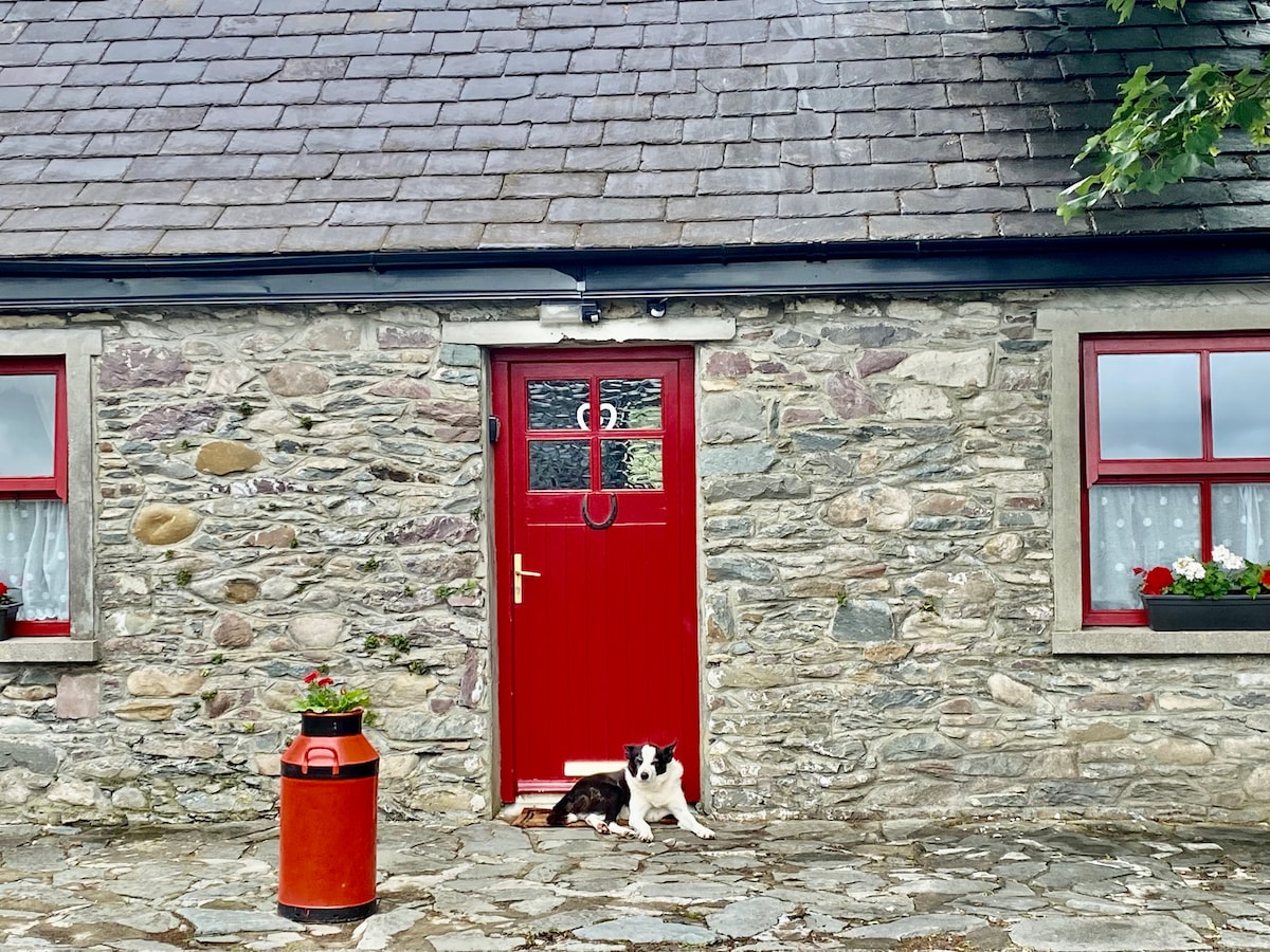 Hut site in Cill BuaineHut site · 159 yd
 Enclosure in Cill BuaineEnclosure · 445 yd
 Tráigh na CilleBeach / strand · 1521 yd
 Cuas a' PhúcaCave · 1649 yd
 Cuas a 'ChapaillBay · 1742 yd
 Carraig PhádraigCliff · 1.0 mi
 Tráigh LeagaighBeach / strand · 1.2 mi
 KillurlyMountain / peak · 1.5 mi
 Cúm an EaspaigMountain / peak · 1.9 mi
 Tobairin Holy WellSpring · 2.1 mi