What is recorded here
In level wet pasture, c. 80m SSE of a rath (SL025-041----) and immediately N of a disused railway line. The remains of a circular hut (9m N-S; 7.8m E-W) defined by a low sod-covered bank (Wth 2.1m; int. H 0.25m; ext. H 0.2m). Traces of internal stone kerbing are evident along the NE arc. There are gaps (Wth 2m) in the bank at SE and N. The interior is wet and sparsely covered with rushes. Partially sod-covered stones are scattered throughout the interior with one group forming a shallow E-W arc (C 2m) in the S half.
The above description is derived from the published 'Archaeological Inventory of County Sligo' compiled by Ursula Egan, Elizabeth Byrne, Mary Sleeman with Sheila Ronan and Connie Murphy (Dublin Stationery Office, 2005).
Date of upload: 18 January 2008
The monument record does not grant public access. Check the route and ask the landowner before entering private land.
- What survives
- Recorded monument
Places near here
 ÌndicatedEnclosure · 791 yd
 IndicatedFairy fort / earthen ringfort · 1006 yd
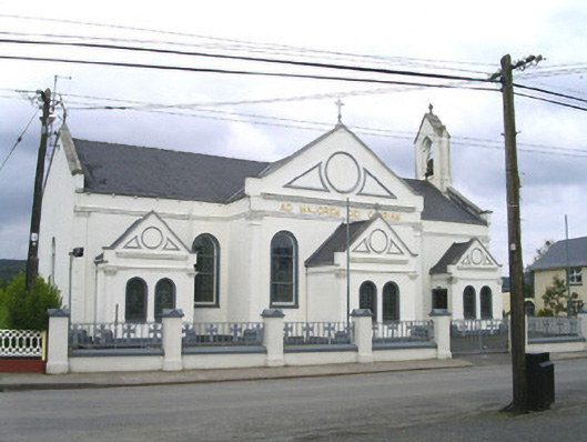 Catholic Church of the Sacred Heart and Saint Josephchurch/chapel · 1060 yd
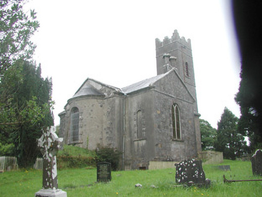 Killoran Churchchurch/chapel · 1748 yd
 Tullaghan HillMountain / peak · 2.5 mi
 DoomoreMountain / peak · 2.7 mi
 Moymlough Castle (in Ruins)Castle, tower house · 2.7 mi
 European ashEuropean ash · 3.2 mi
 ElderElder · 3.8 mi
 CastleCastle, unclassified · 4.3 mi
 RinnatalleenHeadland · 4.4 mi
 Derinch PointHeadland · 4.6 mi