What is recorded here
Described by O'Sullivan and Sheehan (1996, 393, no. 1161) as 'Located on the crest of the ridge that extends W from Mullaghnarakill mountain. A well-preserved circular dry-stone hut of corbelled construction that features an external offset of coursed blocks, now largely concealed beneath
collapse. Small slabs were used to line the inner wall-face; at SE a modified lintelled entrance, 0.7m wide, composed of large coursed blocks occurs. A gap, adjacent at E, constitutes the present entrance. 1): 3.9m. H: 1.2m. T: 1.8m.'
Compiled by: Paul Walsh
Date of upload: 3 May 2017
The monument record does not grant public access. Check the route and ask the landowner before entering private land.
- What survives
- Recorded monument
Places near here
 Church in CaherlehillanChurch · 416 yd
 SheepfoldHut site · 587 yd
 Field system in Coulagh,teeromoyleField system · 925 yd
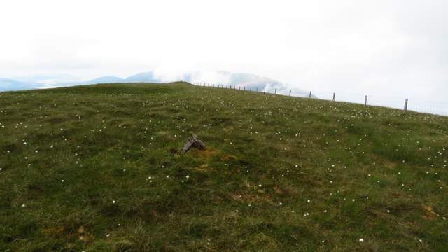 Been HillMountain / peak · 1.4 mi
 MullaghnarakillMountain / peak · 1.9 mi
 Soft Tree-fernSoft Tree-fern · 2.5 mi
 Chilean wine palmChilean wine palm · 2.5 mi
 Kells BeachBeach / strand · 2.7 mi
 Gleensk Viaductbridge · 2.9 mi
 Sheep Dog TrainingHeritage attraction · 3.0 mi
 FeaklecallyHeadland · 3.6 mi
 Mountain StageViewpoint · 3.7 mi