What is recorded here
Situated on a gentle N-facing slope at the source of a small stream that runs off to the WNW to join the E-W Mine River, c. 800m distant. There is a conjoined circular hut-site adjacent to St Bride's Well (WX006-038001-). A circular mortared hut (int. diam. 2.8m; ext. diam. 4m) survives to a height of 1.2m, with no recognisable entrance. Archaeological excavation (00E0801) uncovered the remains of the second masonry hut of similar dimensions, with the stream leading into and out of this structure which was unroofed. The other chamber was corbelled but collapsed at some point while the unroofed enclosure continued in use. Glass and pottery indicate the building and use of the structures in the 17th or 18th century. (Gregory 2003)
Compiled by: Michael Moore
Date of upload: 10 August, 2012
The monument record does not grant public access. Check the route and ask the landowner before entering private land.
- What survives
- Recorded monument
Places near here
 Saint Brigid's WellSpring · 9 yd
 Brides WellHoly well · 10 yd
 Enclosure in Brideswell LittleEnclosure · 818 yd
 SlievegowerMountain / peak · 1.0 mi
 Blue SchoolMemorial · 1.3 mi
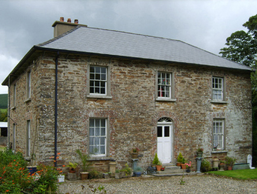 farm housefarm house · 1.9 mi
 Millstone quarry in MotabowerMillstone quarry · 2.0 mi
 Craan HillMountain / peak · 2.6 mi
 Mountnebo WoodForest · 3.6 mi
 Camolin WoodForest · 3.6 mi
 Ferns Castle (in ruins)Castle, Anglo-Norman masonry castle · 7.0 mi
 CastleCastle, unclassified · 7.8 mi