What is recorded here
Square-shaped hut site (ext. dims. 3.8m x 3.5m; int. dims. 2.2m x 2.3m) aligned NE-SW, with entrance in W corner. On fairly flat ground, located a few metres W of a stream that forms the townland boundary with Mín na Saileach (Meenasillagh). The stream marks the townland boundary with Mín na Saileach (Meenasillagh). Grassy vegetation around site, giving way to blanket peat. Walls (avg. H 0.3m; avg. Wth 0.5m) are largely of stone construction with coursing evident in places. Peat packing and bracken overgrowth obscures much. Small quantity of stone tumble suggests that walls were originally topped by sods. At either side of this central structure are two further walls of roughly the same length. The S of these curves at either end so that there are gaps of only 1.6m and 1.1m between it and the central structure. This suggests that it was a roofed annexe (L 3m x 0.7m Wth; max. H 1.1m) to the latter, for storing dairy products or keeping calves. The N wall (L 3.25m; Wth 0.45m; H 0.4m) is built of rubble and sods. It does not have curving ends and is some 2.5m from the central structure. It may belong to an earlier construction phase and/or have acted as a shelter wall (Costello 2016, 314; 2020, 85).
See attached photographs courtesy of Dr. Eugene Costello
Compiled by: Dr Eugene Costello
Date of upload: 27 August 2020
The monument record does not grant public access. Check the route and ask the landowner before entering private land.
- What survives
- Recorded monument
Places near here
 An Port Coastal Promontory FortPromontory fort, coastal · 1015 yd
 Port Bay Coastal Promontory FortPromontory fort, coastal · 1298 yd
 An Tor MórIslet · 1.1 mi
 Church in LeathchoillChurch · 2.1 mi
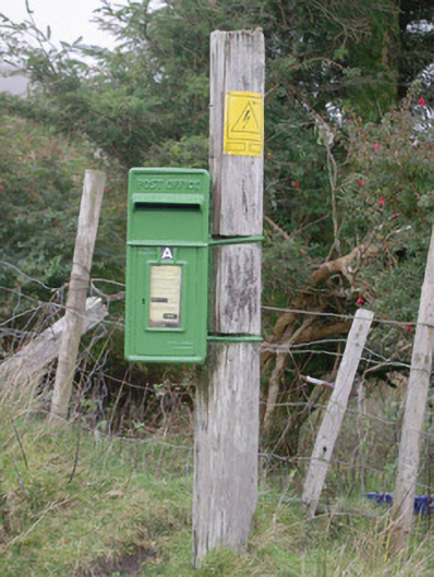 post boxpost box · 2.3 mi
 Glencolmcille Old GraveyardGraveyard · 2.6 mi
 Trá an GhleannaBeach / strand · 2.9 mi
 Glencolmcille Folk VillageMuseum · 3.2 mi
 An Trá Bheag (Trá Bheag an Ghleanna)Beach / strand · 3.3 mi
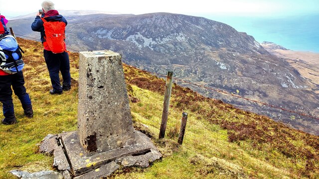 Sliabh TuaidhMountain / peak · 4.5 mi
 CroaghstraleelMountain / peak · 4.6 mi
 Rossan PointHeadland · 5.0 mi