What is recorded here
This possible hut site was discovered by Mr. Colm Mac Diarmada (pers. comm. October 2015). It is in an upland area of rough grazing and cut-away bogland on the SW hillslope of Binn Shléibhe/Ben Levy, overlooking Lough Corrib to the SE and an inlet of Lough Mask to the NW.
The hut site (4.4m E-W; 3.8m N-S), roughly oval in plan, is defined by the footings of possible inner and outer wall-facing stones (Wth 0.85m at N). Opposing gaps are evident at roughly W (Wth 0.7m) and E (Wth 0.4m).
A scatter of boulders (2.3m E-W; 1.3m N-S; H 0. 2m) is visible c. 6m to the SW, however, no discernible structure is evident and it appears to be tumbled material. A ring-barrow (GA026-020----) lies c. 55m to the NE.
Compiled by: Olive Alcock
Date of upload: 22 October 2015
The monument record does not grant public access. Check the route and ask the landowner before entering private land.
- What survives
- Recorded monument
Places near here
 Binn ShléibheMountain / peak · 1126 yd
 Crannog in Baile DhúlochaCrannog · 1578 yd
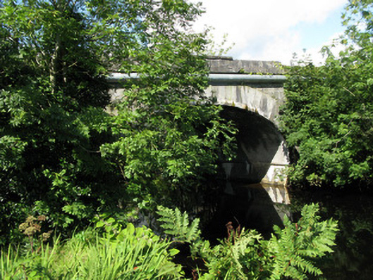 Cornamona Bridgebridge · 1681 yd
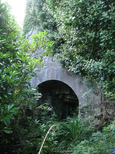 kilnkiln · 1717 yd
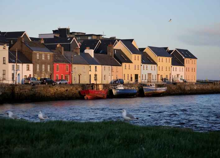 Roeillaun SouthIslet · 1.9 mi
 Bush IslandIslet · 1.9 mi
 Enclosure in An Chloch Bhreac UachtairEnclosure · 2.0 mi
 Ballindeonagh Castle (in ruins)Castle, unclassified · 2.9 mi
 Doon RockNamed rock · 3.3 mi
 Coill na FaircheWood · 3.4 mi
 CastlekirkCastle · 3.9 mi
 KeeraunnageeraghMountain / peak · 4.0 mi