What is recorded here
In level grassland. Oval cashel (E-W 44.2m, N-S 38.6m), in fair condition, defined by a drystone wall. The td. boundary cuts the monument at E and W, and the enclosing element is best preserved to S of it. Within S sector of the interior are two structures: (a GA057-025001-) to W is a rectangular house (E-W; L 10.4m, Wth 6.4m), with an internal division, defined by a line of boulders and small stones; (b GA057-025002-) to E is a D-shaped structure (E-W; L 1.94m, Wth 1.05m) of similar construction, possibly a hut.
The above description is derived from the published 'Archaeological Inventory of County Galway Vol. II - North Galway'. Compiled by Olive Alcock, Kathy de hÓra and Paul Gosling (Dublin: Stationery Office, 1999).
Date of upload: 24 August 2016
The monument record does not grant public access. Check the route and ask the landowner before entering private land.
- What survives
- Recorded monument
Places near here
 IndicatedEnclosure · 432 yd
 Church in AucloggeenChurch · 949 yd
 Enclosure in TurloughgarveEnclosure · 1.0 mi
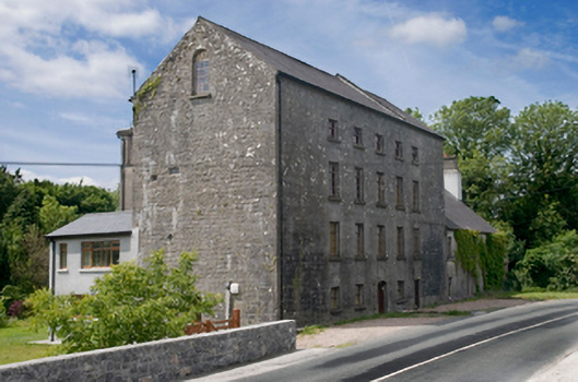 Cregg Millsmill (water) · 1.2 mi
 Cregg Castle DemesneForest · 1.3 mi
 Drumgriffin Castle (in ruins)Castle, unclassified · 1.7 mi
 Cregboyne FortBawn · 2.0 mi
 European BeechEuropean Beech · 3.2 mi
 Kilcoona Round TowerHeritage attraction · 4.3 mi
 Ballinduff BayBay · 4.4 mi
 Oileán an AoilIsland · 5.9 mi
 Oileán an BhreathnaighIslet · 5.9 mi