What is recorded here
(j) Hut: A short distance to E of the latter site are the ruined foundations of a probably circular hut measuring 3.5m in diameter internally with a .95m wide entrance at ESE defined by 2 upright slabs. This feature is not marked on the accompanying plan.
The above description is derived from J. Cuppage, ‘Corca Dhuibhne. Dingle Peninsula archaeological survey. Ballyferriter. Oidhreacht Chorca Dhuibhne’ (1986), no. 29. In certain instances the entries have been revised and updated in the light of recent research.
Date of upload: 3 August 2013
The monument record does not grant public access. Check the route and ask the landowner before entering private land.
- What survives
- Recorded monument
Places near here
 Fulacht fia in An Gabhlán BeagFulacht fia · 195 yd
 Enclosure in An Gabhlán BeagEnclosure · 258 yd
 Lispole Viaductbridge · 1.1 mi
 Séipéal Eoin Baiste [Catholic Church of Saint John the Baptist]church/chapel · 1.1 mi
 Lispole Ambush MonumentWayside cross · 1.1 mi
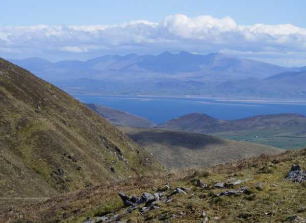 An Cnapán MórMountain / peak · 1.1 mi
 Cruach SceirdeMountain / peak · 1.2 mi
 Maughanablagher CliffsCliff · 2.4 mi
 An ChonairViewpoint · 2.8 mi
 Caisleán na Mine AirdeCastle · 2.9 mi
 Minard Castle (in ruins)Castle, tower house · 2.9 mi
 Tobar EoinSpring · 2.9 mi