What is recorded here
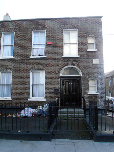
Corner-sited end-of-terrace three-bay two-storey brown brick house, built c.1870. One of group of five. Double-pile slate roof, hipped to north, rendered chimneystacks and yellow clay pots, metal hopper and cast-iron downpipes to side (north) elevation. Brown brick walling laid down in Flemish bond over granite plinth course over rendered walling. Incised stone street name plague to north. Side (north) elevation having painted brick walling, brown brick to rear (west) elevation. Square-headed window openings with gauged brick voussoirs, rendered reveals, masonry sills and two-over-two pane timber sliding sash windows. Round-headed window openings to first and ground floors to northern bay of front elevation having single-pane sliding sashes. Original timber shutters visible to first floor windows. Round-headed door opening in moulded render surround having rendered soffit and reveals. Timber panelled door flanked by engaged pilasters having recessed panels terminating in floriate brackets supporting frieze and stepped cornice, plain glazed overlight. Door opens onto granite platform with three granite steps flanked by wrought-iron handrails. Set back from road, bounded by moulded granite plinth wall surmounted by wrought-iron railings with spike finials, hoops and corner post.
The southern section of Seville Place was developed after the arrival of the railway in the 1830s-40s. This terrace, built in the second half of the nineteenth century, was part of a wave of development in the area in that period, perhaps spurred on by the construction of the nearby church of Saint Laurence O'Toole, and the ecclesiastical and educational buildings which followed it. A composed terrace of five houses, the terminating houses are embellished by the attractive addition of small round-headed windows to north and south. The survival of the original fenestration and joinery contributes to the significance of the house.
This does not grant access. Most recorded buildings are privately owned; view them only from public ground unless the owner allows entry.
Places near here
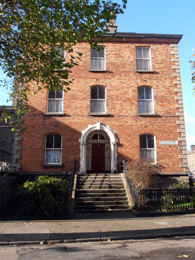 presbytery/parochial/curate's housepresbytery/parochial/curate's house · 39 yd
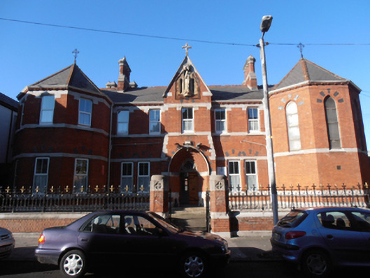 The Oasis Centreconvent/nunnery · 57 yd
 Large Dublin letteringHeritage attraction · 248 yd
 W18539Wreck · 371 yd
 ConciergeVisitor information · 445 yd
 The Convention Centre DublinHeritage attraction · 490 yd
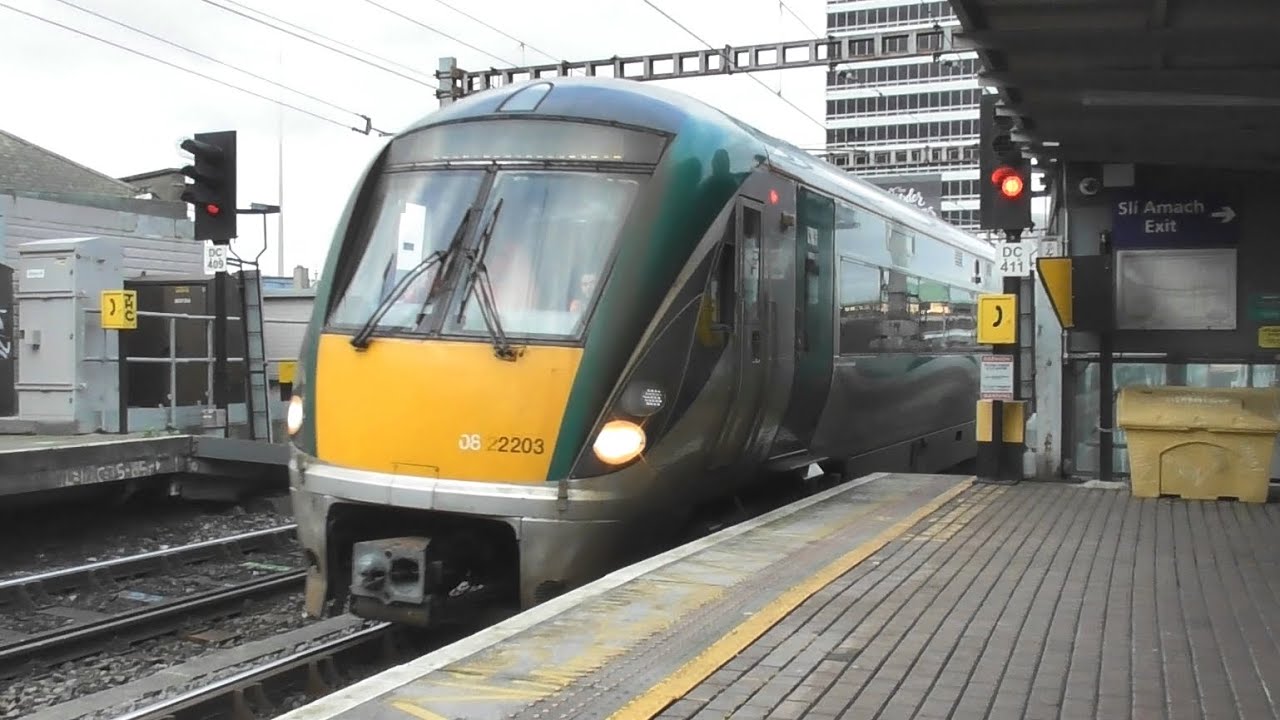 Irish Rail InformationVisitor information · 504 yd
 1974 Dublin and Monaghan Bombings MemorialMonument · 547 yd
 HomeMonument · 592 yd
 Captain Séan ConnollyMemorial · 608 yd
 17 October UN International Day for the Eradication of PovertyMonument · 648 yd
 Burning of the Custom Housearmed conflict · 830 yd
Other information
Photo: National Inventory of Architectural Heritage · Website use allowed for educational or private purposes with source credit