What is recorded here
A castle (WX047-079----) and three small houses are marked on the Down Survey parish map (1656-8) of Mayglass in a large plot of 314 acres that was owned by Richard Wadding. The terrier or commentary says that at Mayglass there are the ruins of an old castle and seven cabins. The location of the cabins is not precisely known, but from the Down Survey map they were probably close to the castle in Courtlands East or Courtlands West, in the vicinity of the Roman Catholic church and the school.
See the attached view from the Down Survey parish map (N at bottom) reproduced courtesy of the National Library of Ireland (Ms 725).
Compiled by: Michael Moore
Date of upload: 6 July 2021
The monument record does not grant public access. Check the route and ask the landowner before entering private land.
- What survives
- Recorded monument
Places near here
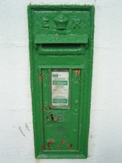 post boxpost box · 148 yd
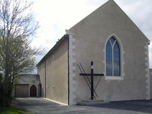 Saint Fintan's Catholic Churchchurch/chapel · 163 yd
 St. Fintans WellHoly well · 258 yd
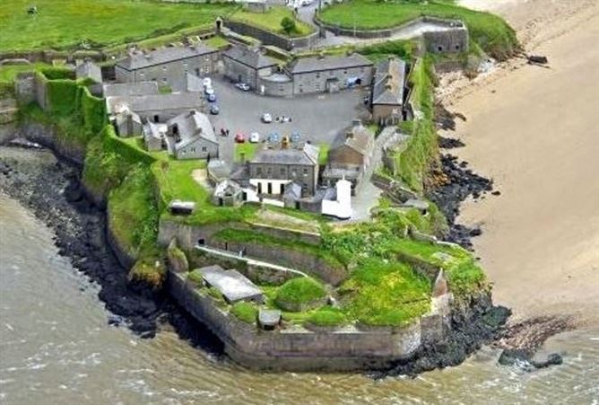 Enclosure in DamptownEnclosure · 1673 yd
 CastleRuins · 1.1 mi
 The Heron's MeadowForest · 1.7 mi
 Castle (Site of)Castle, unclassified · 1.8 mi
 The Bull RockForest · 1.9 mi
 1798 Memorial PlaqueMemorial · 2.2 mi
 The White Hole BeachBeach / strand · 3.8 mi
 Ballyhealy BeachBeach / strand · 4.0 mi
 Sigginstown Island (Great)Island · 4.4 mi