What is recorded here
A house is indicated on the Down Survey map (1655-6) in the vicinity of Clonamery medieval church (KK033-021001-). The precise location of the house is unknown.
Compiled by: Jean Farrelly
Date of upload: 23 January 2017
The monument record does not grant public access. Check the route and ask the landowner before entering private land.
- What survives
- Recorded monument
Places near here
 Enclosure in ClonameryEnclosure · 151 yd
 Clonamery Church (in ruins)Church · 418 yd
 Clonamery Castle (in Ruins)Castle, unclassified · 779 yd
 CastleCastle, unclassified · 1131 yd
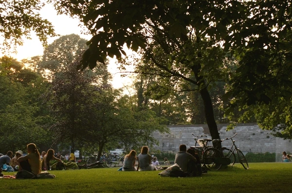 Woodstock ForestForest · 1250 yd
 Enclosure in Ballygub NewEnclosure · 1.2 mi
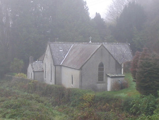 Saint Brendan's Catholic Churchchurch/chapel · 1.2 mi
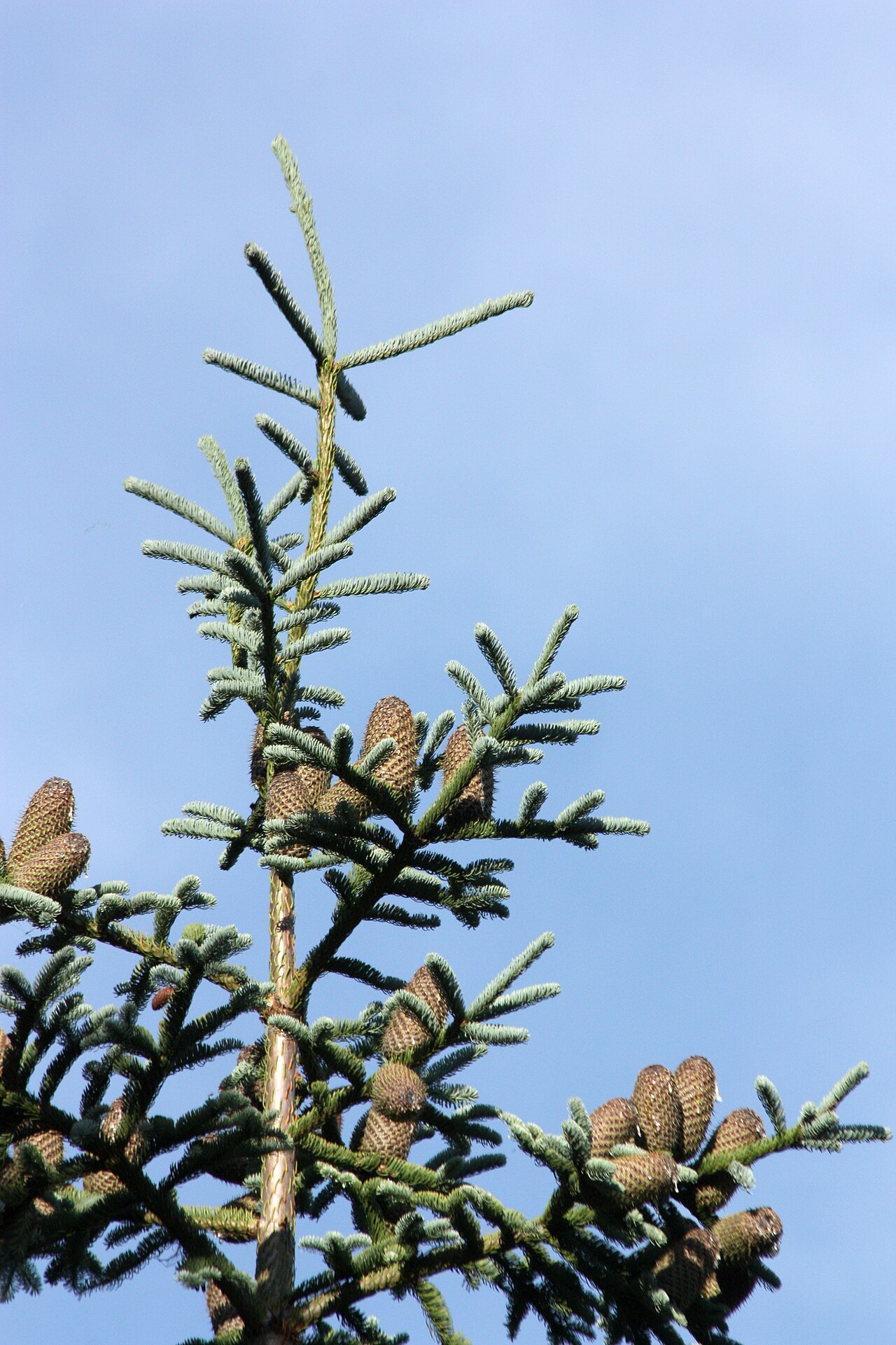 Noble FirNoble Fir · 1.2 mi
 Woodstock Gardens and ArboretumHeritage attraction · 1.3 mi
 Mount AltoMountain / peak · 1.9 mi
 InistiogeVisitor information · 1.9 mi
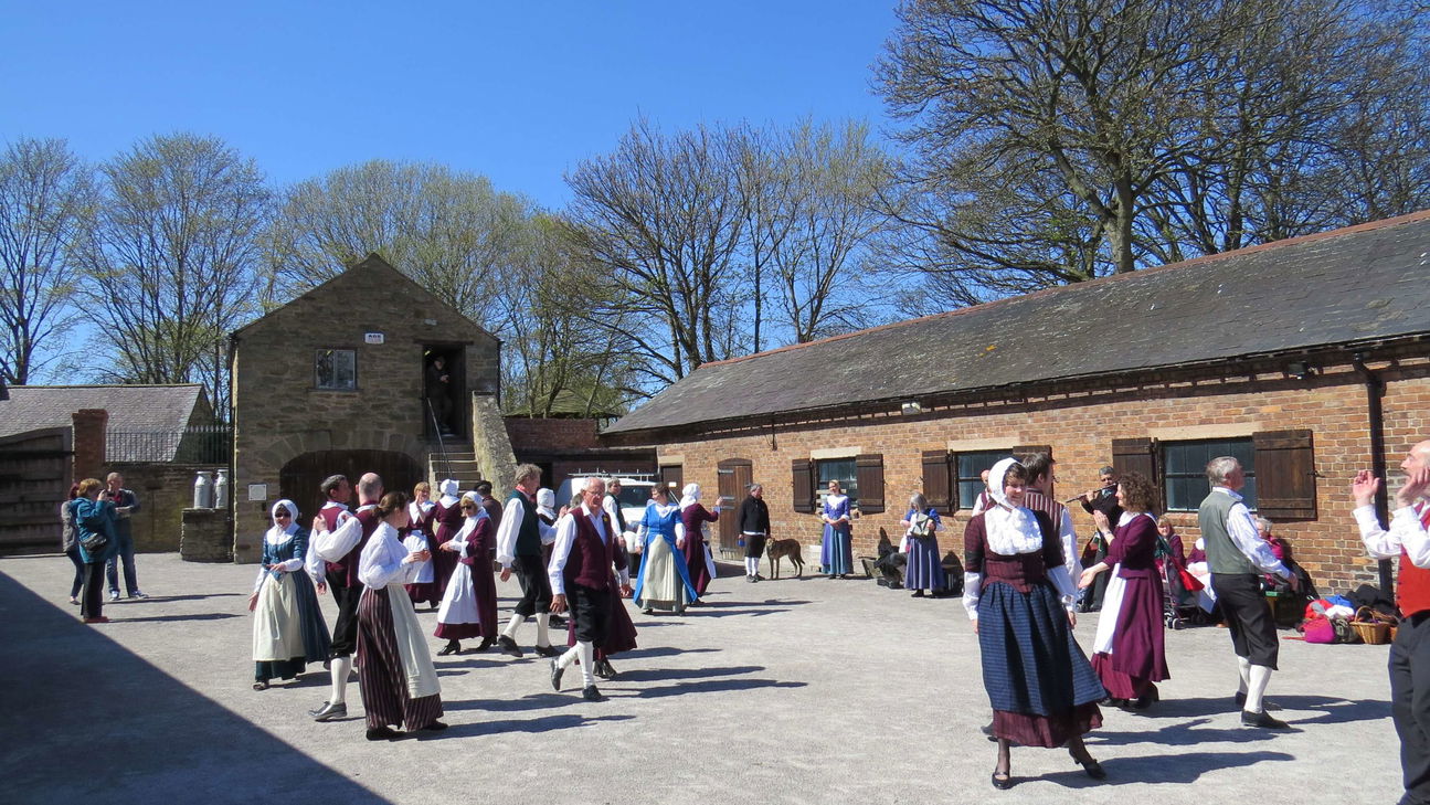 Woodstock Heritage MuseumMuseum · 1.9 mi