What is recorded here
Unlocated house indicated within the townland on the Down Survey (1655-6) map.
The above description is derived from the published 'Archaeological Inventory of County Offaly' (Dublin: Stationery Office, 1997). In certain instances the entries have been revised and updated in the light of recent research.
Date of upload: 23 May 2011
The monument record does not grant public access. Check the route and ask the landowner before entering private land.
- What survives
- Recorded monument
Places near here
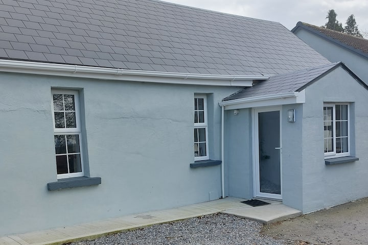 Hut site in CloghatannyHut site · 1167 yd
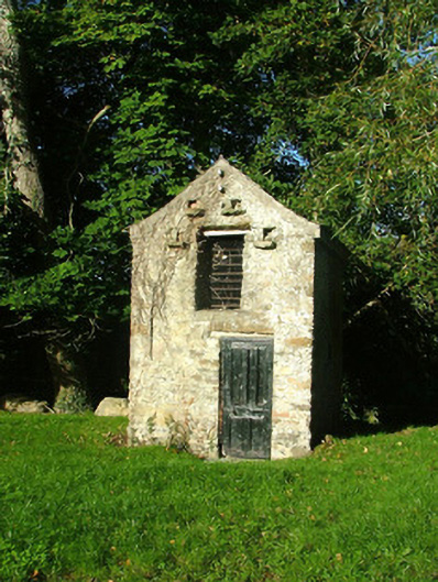 Ashmount Housedovecote/pigeon house/aviary · 1249 yd
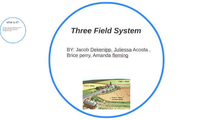 Field system in Greenville OR GarryduffField system · 1494 yd
 ToberaskeenSpring · 1653 yd
 Roughan HillMountain / peak · 1.1 mi
 Church (in Ruins), Grave YardChurch · 1.2 mi
 Inchaloon IslandIslet · 1.3 mi
 Gorteen CastleCastle, unclassified · 1.6 mi
 Chapel HillForest · 1.9 mi
 Clara Bog BoardwalkHeritage attraction · 2.0 mi
 Kilcoursey Castle (in Ruins)Bawn · 2.4 mi
 Moate HillMountain / peak · 4.2 mi